2022 Map of Palco
USGS Topo · Published 2022About this map
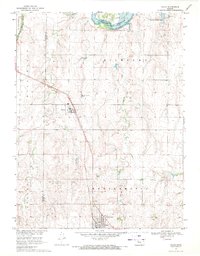
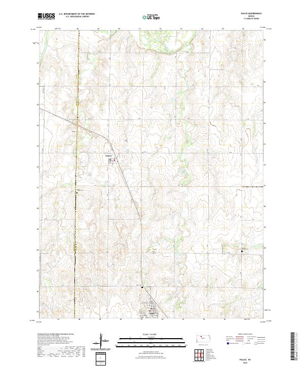
Palco and Damar serve as the primary hubs of this Rooks County landscape, where the high plains meet the drainage systems of the S Fork Solomon River. The topography is defined by a grid of rural roads, including 1 RD and 6 RD, which navigate the undulating terrain between the river to the north and the headwaters of Spring Cr and Lost Cr to the east. For genealogists and local historians, several burial grounds are preserved across the sections, including Saint Joseph Cem located west of Damar, the Palco Cem just north of its namesake town, and the Green Mound Cem positioned in the eastern reach of the quadrangle. The map captures the organized township and range system common to the Kansas plains, illustrating the enduring agricultural patterns of the region.
Find a feature on this map
37 named features on this map. Tap any name to fly to it.
Don’t see what you’re looking for? This feature index may not catch every label — zoom into the map to look around manually.
Map Details
Editions of this 2022 Palco Map
This is the sole edition of this map. No revisions or reprints were ever made.