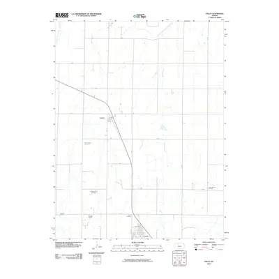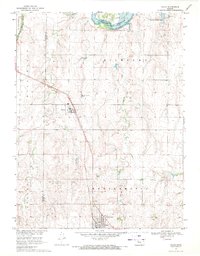
1969 Map of Palco
USGS Topo · Published 1971About this map
Webster Reservoir and the South Fork Solomon River dominate the northern reaches of this Rooks County landscape during the late 1960s. The region's economy is clearly defined by its natural resources, with the extensive Gra-Rook North Oil Field and scattered Shale Pits marking the plains. The Union Pacific railroad cuts a diagonal path across the territory, anchoring the small settlements of Damar and Palco. This corridor serves as the primary artery for the rural townships of Richland and Northampton. Local heritage is preserved at several burial grounds, including St Joseph Cem near Damar and Green Mound Cem to the east. The presence of Sewage Disposal Ponds and a Gaging Station reflects the mid-century infrastructure supporting these agricultural and industrial communities along the Spring Creek drainage.
Find a feature on this map
20 named features on this map. Tap any name to fly to it.
Don’t see what you’re looking for? This feature index may not catch every label — zoom into the map to look around manually.
Map Details
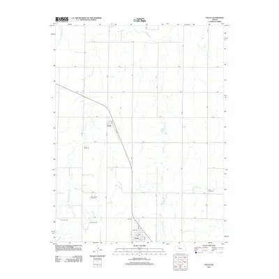
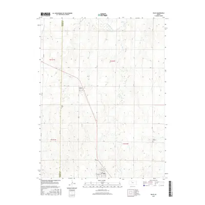
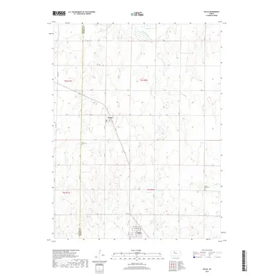
Editions of this 1969 Palco Map
This is the sole edition of this map. No revisions or reprints were ever made.
Historical Maps of Palco Through Time
6 maps found