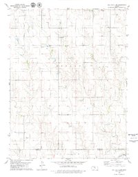
1979 Map of Hill City 4 NW
USGS Topo · Published 1979About this map
The rolling plains of Morlan and Ogallah define this northwestern Kansas landscape, where the agricultural economy of the late 1970s was deeply integrated with energy extraction. The map reveals a dense network of petroleum activity, notably within the Cooper Oil Field and the Trico Oil Field, dotted with individual Oil Wells and a local Quarry. This industrial presence contrasts with the quiet landmarks of rural life, including the Township Cem and local congregations at Redline Ch and Mt Pleasant Ch.
Find a feature on this map
15 named features on this map. Tap any name to fly to it.
Don’t see what you’re looking for? This feature index may not catch every label — zoom into the map to look around manually.
Map Details
Editions of this 1979 Hill City 4 NW Map
2 editions found
Other maps of this area

1893 · Hill
USGS Topo · 1:125,000

1955 · Beloit
USGS Topo · 1:250,000

1959 · Beloit
USGS Topo · 1:250,000
1962 · Wa Keeney East
USGS Topo · 1:24,000
1963 · Hill City 4 SE
USGS Topo · 1:24,000
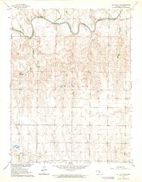
1963 · Hill City 4 SW
USGS Topo · 1:24,000

1969 · Palco
USGS Topo · 1:24,000

1979 · Bogue
USGS Topo · 1:24,000

1979 · Hill City South
USGS Topo · 1:24,000
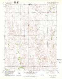
1979 · Wild Horse Creek
USGS Topo · 1:24,000