
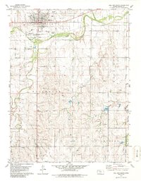
1979 Map of Hill City South
USGS Topo · Published 1979About this map
Hill City serves as the focal point of this late-1970s survey, showing a developed township layout complete with a Municipal Airport, Fairground, and even a Drive-in Theater. The town is situated just north of the South Fork Solomon River, with the Union Pacific railroad providing the primary east-west transit corridor through the river valley. South of the river, the landscape transitions into several named townships including Millbrook, Morlan, and Happy.
Find a feature on this map
27 named features on this map. Tap any name to fly to it.
Don’t see what you’re looking for? This feature index may not catch every label — zoom into the map to look around manually.
Map Details
Editions of this 1979 Hill City South Map
2 editions found
Other maps of this area

1893 · Hill
USGS Topo · 1:125,000

1955 · Beloit
USGS Topo · 1:250,000

1959 · Beloit
USGS Topo · 1:250,000

1979 · Bogue
USGS Topo · 1:24,000

1979 · Penokee
USGS Topo · 1:24,000
1979 · Hay Hollow
USGS Topo · 1:24,000
1979 · Hill City NW
USGS Topo · 1:24,000
1979 · Hill City 4 NW
USGS Topo · 1:24,000
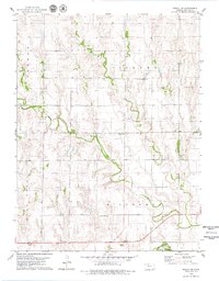
1979 · Bogue NW
USGS Topo · 1:24,000
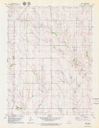
1979 · Togo
USGS Topo · 1:24,000