
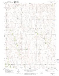
1979 Map of Penokee
USGS Topo · Published 1979About this map
Penokee serves as the primary hub of this High Plains landscape, situated where the Union Pacific railroad tracks parallel the winding course of the South Fork Solomon River. The map captures an era defined by the intersection of traditional agriculture and a sprawling energy economy, evidenced by the numerous Oil Wells and defined Oil Field areas that dot the townships of Gettysburg, Millbrook, and Bryant. Local history is preserved at the Penokee Cem and Brush Creek Cem, while the drainage of the river system is fed by tributaries including Rock Creek, Sand Creek, and Jackson Branch. The landscape shows a clear transition from the river valley to the dissected uplands where resource extraction like Quarries and a Gravel Pit appear alongside the petroleum interests.
Find a feature on this map
23 named features on this map. Tap any name to fly to it.
Don’t see what you’re looking for? This feature index may not catch every label — zoom into the map to look around manually.
Map Details
Editions of this 1979 Penokee Map
This is the sole edition of this map. No revisions or reprints were ever made.
Other maps of this area

1893 · Hill
USGS Topo · 1:125,000

1954 · Goodland
USGS Topo · 1:250,000

1955 · Beloit
USGS Topo · 1:250,000

1956 · Goodland
USGS Topo · 1:250,000

1957 · Goodland
USGS Topo · 1:250,000

1959 · Beloit
USGS Topo · 1:250,000

1979 · Hill City South
USGS Topo · 1:24,000

1979 · Morland
USGS Topo · 1:24,000

1979 · St Peter
USGS Topo · 1:24,000
1979 · Hay Hollow
USGS Topo · 1:24,000