
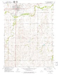
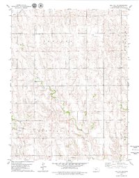
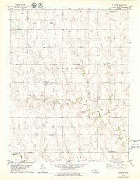
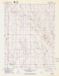
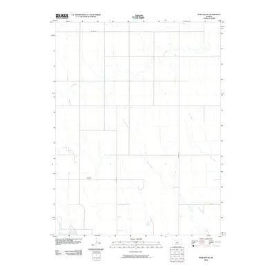
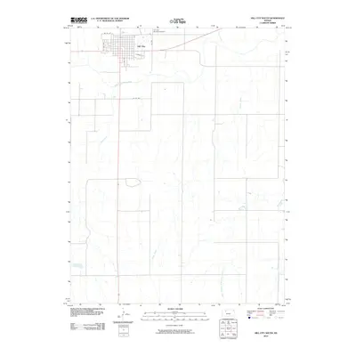
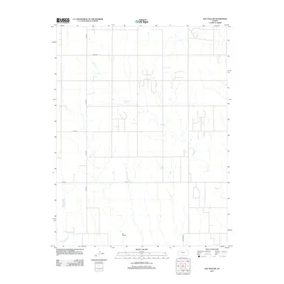
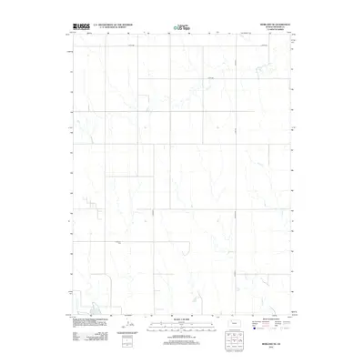
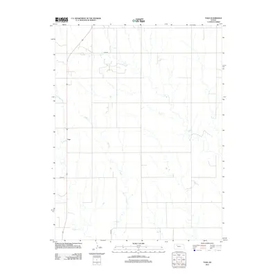
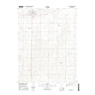
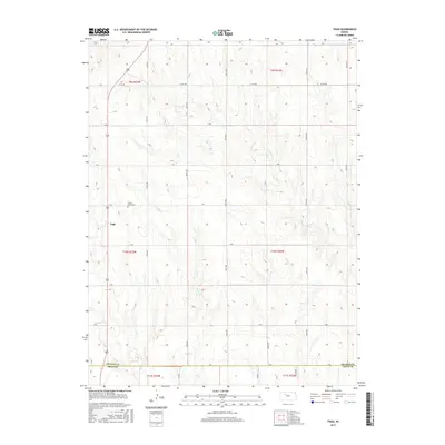
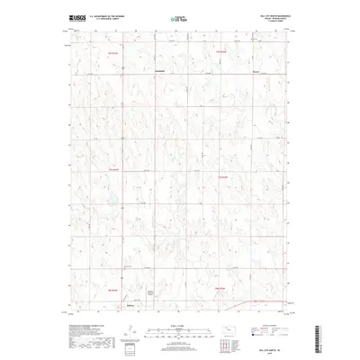
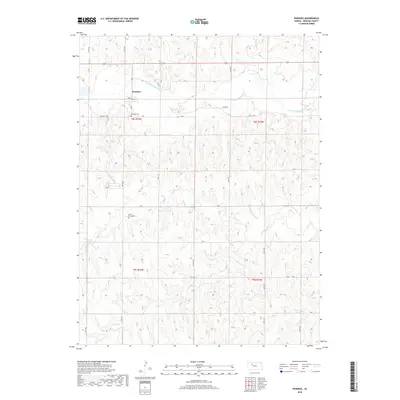
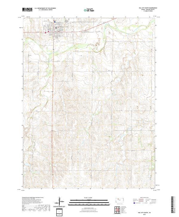
1979 Map of Hill City South
USGS Topo · Published 1986About this map
Hill City serves as the focal point of this Graham County landscape, where the Union Pacific railroad and the South Fork Solomon River run parallel through the northern reaches. The township boundaries of Millbrook, Morlan, Happy, and Hill City divide the terrain, which is defined by a dense network of intermittent streams like Skunk Creek and Wild Horse Creek that carve through the prairie.
Find a feature on this map
25 named features on this map. Tap any name to fly to it.
Don’t see what you’re looking for? This feature index may not catch every label — zoom into the map to look around manually.
Map Details
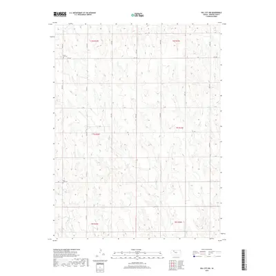
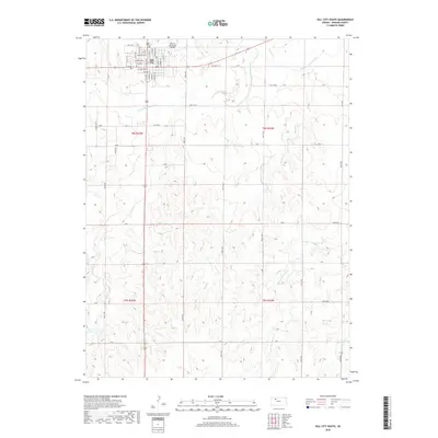
Editions of this 1979 Hill City South Map
2 editions found
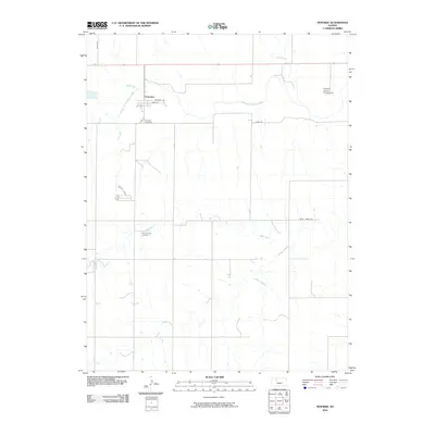
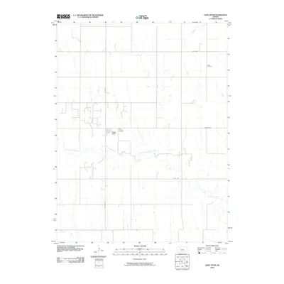
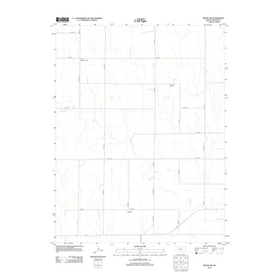
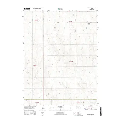
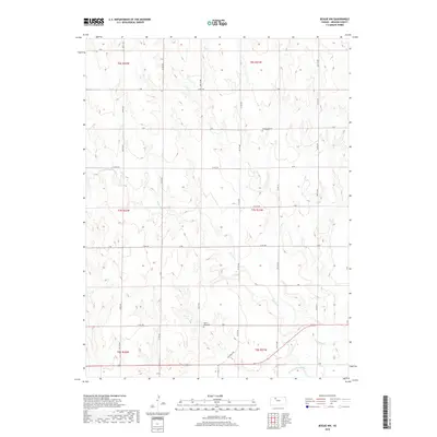
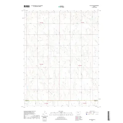
Historical Maps of Hill City Through Time
60 maps found
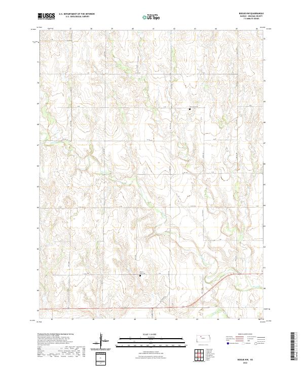
1979 Bogue NW
Graham County, KS
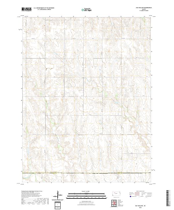
1979 Hay Hollow
Graham County, KS
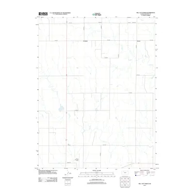
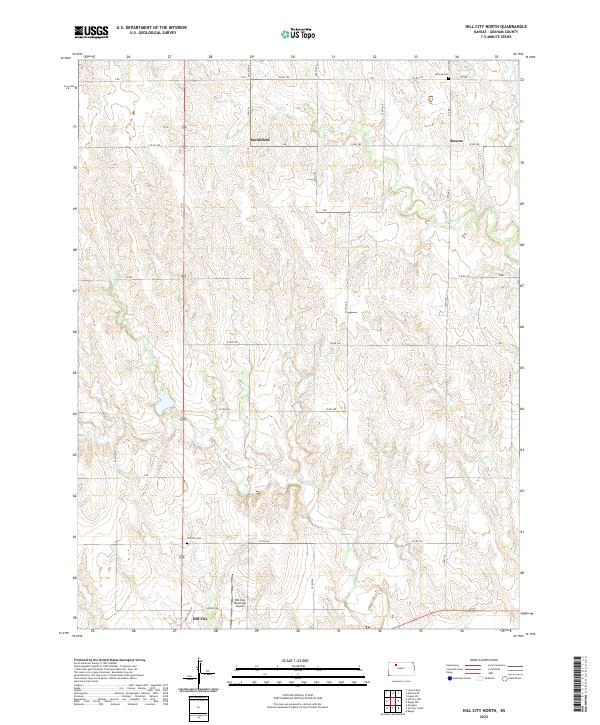
1979 Hill City North
Graham County, KS
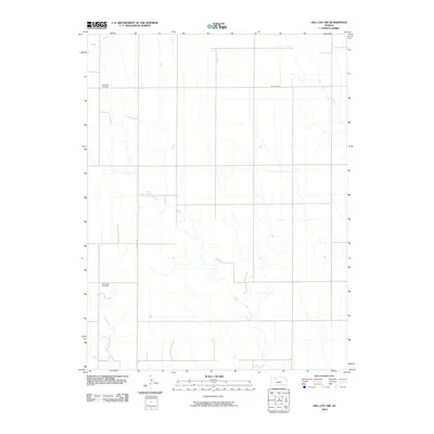
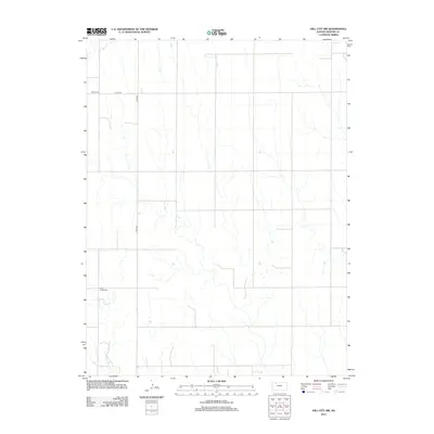
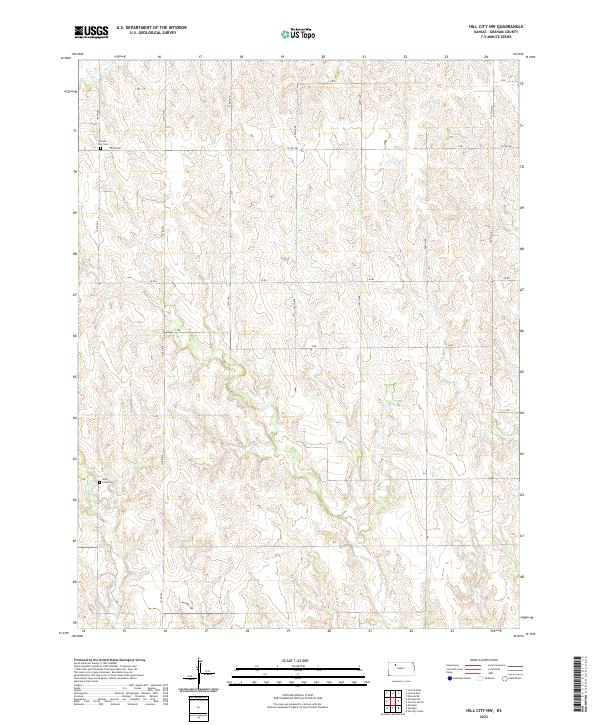
1979 Hill City NW
Graham County, KS
1979 Hill City South
Graham County, KS
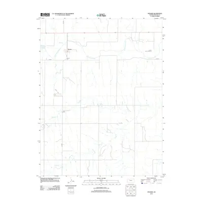
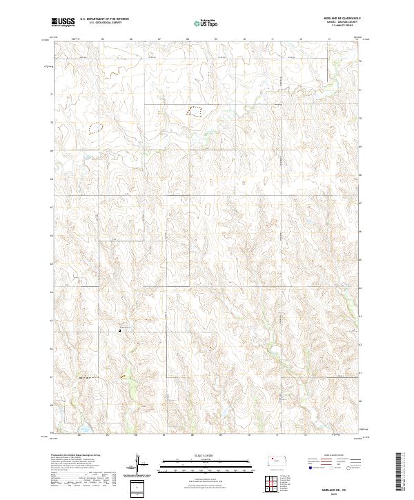
1979 Morland NE
Graham County, KS
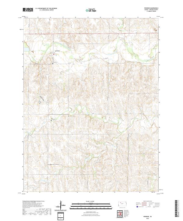
1979 Penokee
Graham County, KS
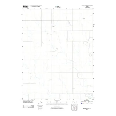
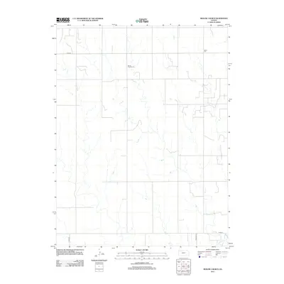
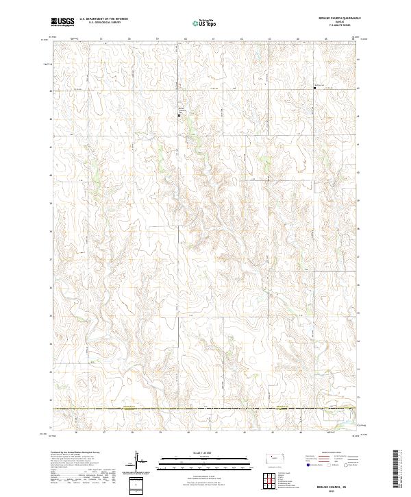
1979 Redline Church
Graham County, KS
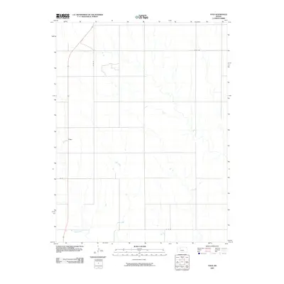
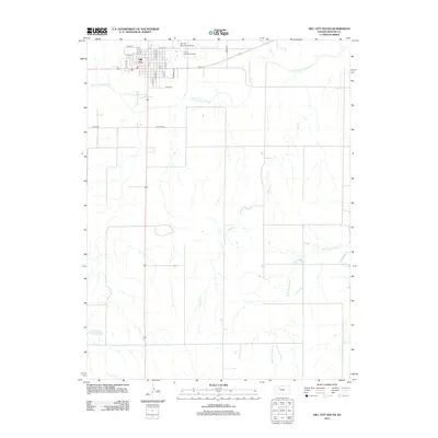
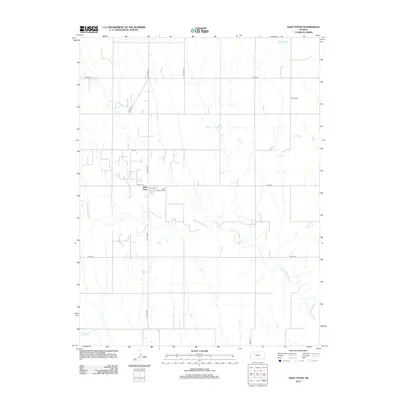
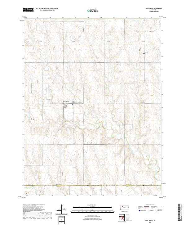
1979 St Peter
Graham County, KS
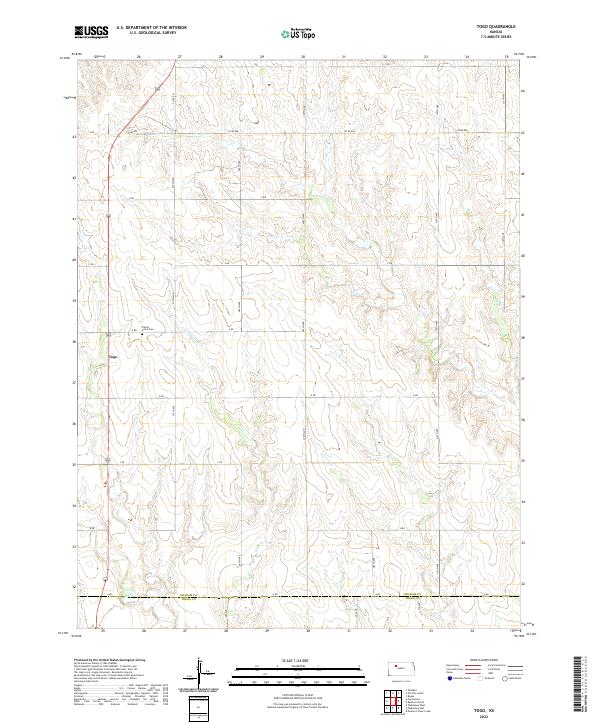
1979 Togo
Graham County, KS
2009 Bogue NW
Graham County, KS
2009 Hay Hollow
Graham County, KS

2009 Hill City North
Graham County, KS
2009 Morland NE
Graham County, KS
2009 Redline Church
Graham County, KS
2009 Togo
Graham County, KS
2010 Hill City NW
Graham County, KS
2010 Hill City South
Graham County, KS
2010 Penokee
Graham County, KS
2010 Saint Peter
Graham County, KS
2012 Bogue NW
Graham County, KS
2012 Hay Hollow
Graham County, KS
2012 Hill City North
Graham County, KS
2012 Hill City NW
Graham County, KS
2012 Hill City South
Graham County, KS
2012 Morland NE
Graham County, KS
2012 Penokee
Graham County, KS
2012 Redline Church
Graham County, KS
2012 Saint Peter
Graham County, KS
2012 Togo
Graham County, KS
2015 Bogue NW
Graham County, KS
2015 Hay Hollow
Graham County, KS
2015 Hill City North
Graham County, KS

2015 Hill City NW
Graham County, KS
2015 Hill City South
Graham County, KS
2015 Morland NE
Graham County, KS
2015 Penokee
Graham County, KS
2015 Saint Peter
Graham County, KS
2015 Togo
Graham County, KS
2016 Redline Church
Graham County, KS
2018 Bogue NW
Graham County, KS
2018 Hay Hollow
Graham County, KS
2018 Hill City North
Graham County, KS
2018 Hill City NW
Graham County, KS
2018 Hill City South
Graham County, KS
2018 Morland NE
Graham County, KS
2018 Penokee
Graham County, KS
2018 Redline Church
Graham County, KS
2018 Saint Peter
Graham County, KS
2018 Togo
Graham County, KS
2022 Bogue NW
Graham County, KS
2022 Hay Hollow
Graham County, KS
2022 Hill City North
Graham County, KS
2022 Hill City NW
Graham County, KS
2022 Hill City South
Graham County, KS
2022 Morland NE
Graham County, KS
2022 Penokee
Graham County, KS
2022 Redline Church
Graham County, KS
2022 Saint Peter
Graham County, KS
2022 Togo
Graham County, KS