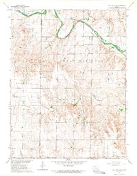
1963 Map of Hill City 4 SE
USGS Topo · Published 1964About this map
The Saline River cuts a winding path through this western Kansas landscape, where the high plains of Ellis and Trego counties meet. In the early 1960s, the rural character of this region was defined by its scattered communal landmarks and a growing extractive economy. Local education and faith were anchored by sites like Cottonwood Grove Sch and St John Ch, providing essential points of reference for the farming families in the West Hamilton and Ogallah townships.
Find a feature on this map
13 named features on this map. Tap any name to fly to it.
Don’t see what you’re looking for? This feature index may not catch every label — zoom into the map to look around manually.
Map Details
Editions of this 1963 Hill City 4 SE Map
2 editions found

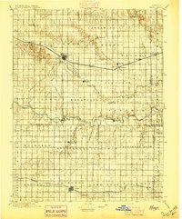
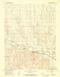
Other maps of this area

1893 · Ellis
USGS Topo · 1:125,000

1893 · Hill
USGS Topo · 1:125,000
1896 · Hays
USGS Topo · 1:125,000

1896 · Plainville
USGS Topo · 1:125,000

1955 · Great Bend
USGS Topo · 1:250,000

1955 · Beloit
USGS Topo · 1:250,000

1957 · Great Bend
USGS Topo · 1:250,000

1958 · Great Bend
USGS Topo · 1:250,000

1959 · Beloit
USGS Topo · 1:250,000
1961 · Yocemento
USGS Topo · 1:24,000