1979 Map of Redline Church
USGS Topo · Published 1993About this map
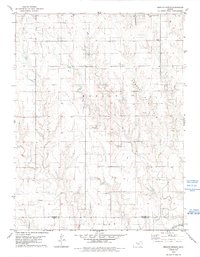
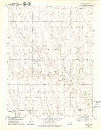
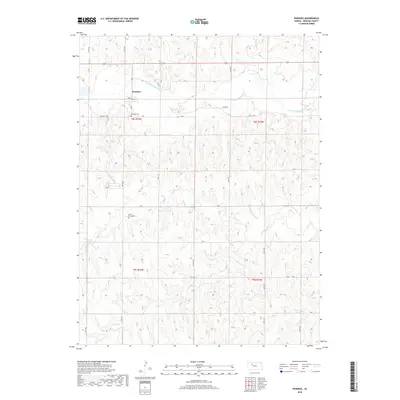
Redline Ch and the rural hills of Graham County are defined by a complex network of energy extraction and small-town landmarks in the late 1970s. The landscape is dominated by industrial activity, most notably the Cooper Oil Field and the Trico Oil Field, which are marked by numerous Oil Wells and a Quarry dotting the terrain. This area, located near the Graham and Trego County line, maintains its agrarian roots through scattered spiritual and civic centers.
Find a feature on this map
15 named features on this map. Tap any name to fly to it.
Don’t see what you’re looking for? This feature index may not catch every label — zoom into the map to look around manually.
Map Details
Editions of this 1979 Redline Church Map
2 editions found
Historical Maps of Trego County Through Time
60 maps found
1979 Bogue NW
Graham County, KS
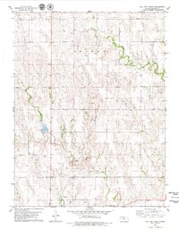
1979 Hay Hollow
Graham County, KS
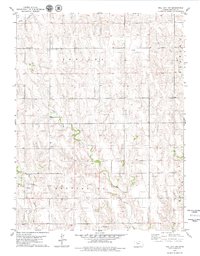
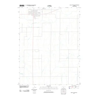
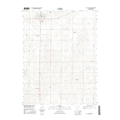
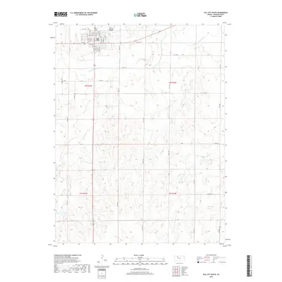
1979 Hill City North
Graham County, KS
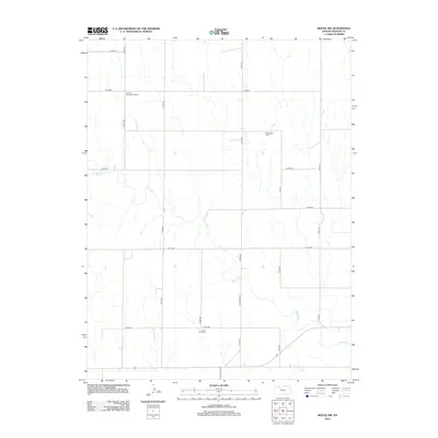
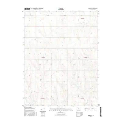
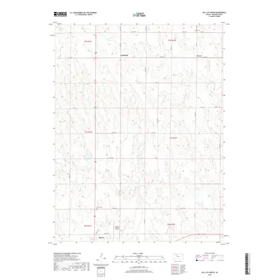
1979 Hill City NW
Graham County, KS

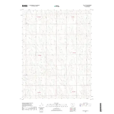
1979 Hill City South
Graham County, KS
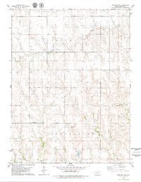
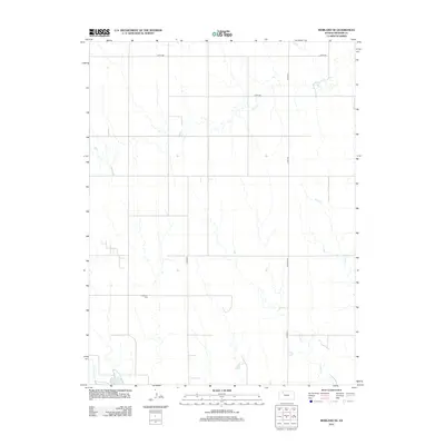
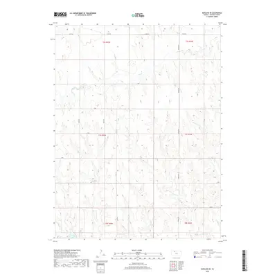
1979 Morland NE
Graham County, KS
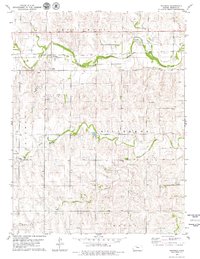
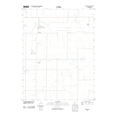
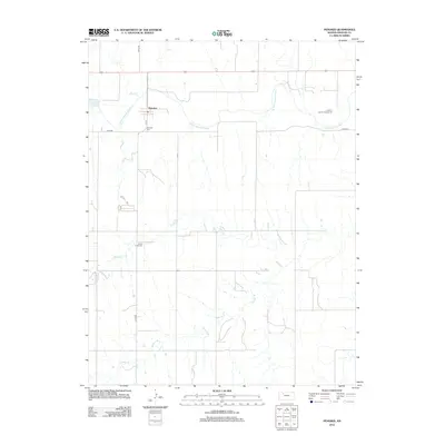
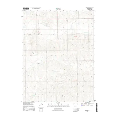
1979 Penokee
Graham County, KS
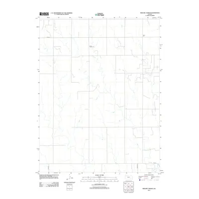
1979 Redline Church
Graham County, KS
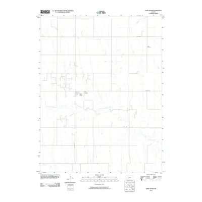
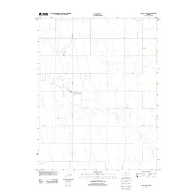
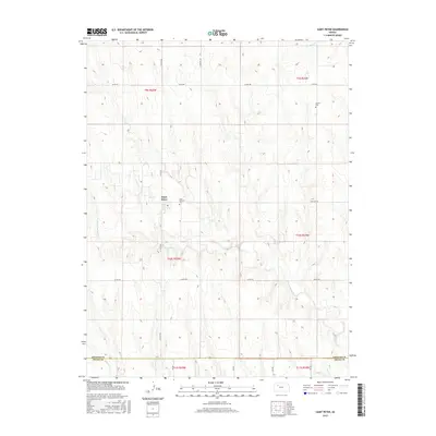
1979 St Peter
Graham County, KS
1979 Togo
Graham County, KS
2009 Bogue NW
Graham County, KS
2009 Hay Hollow
Graham County, KS

2009 Hill City North
Graham County, KS
2009 Morland NE
Graham County, KS
2009 Redline Church
Graham County, KS
2009 Togo
Graham County, KS
2010 Hill City NW
Graham County, KS
2010 Hill City South
Graham County, KS
2010 Penokee
Graham County, KS
2010 Saint Peter
Graham County, KS
2012 Bogue NW
Graham County, KS
2012 Hay Hollow
Graham County, KS
2012 Hill City North
Graham County, KS
2012 Hill City NW
Graham County, KS
2012 Hill City South
Graham County, KS
2012 Morland NE
Graham County, KS
2012 Penokee
Graham County, KS
2012 Redline Church
Graham County, KS
2012 Saint Peter
Graham County, KS
2012 Togo
Graham County, KS
2015 Bogue NW
Graham County, KS
2015 Hay Hollow
Graham County, KS
2015 Hill City North
Graham County, KS

2015 Hill City NW
Graham County, KS
2015 Hill City South
Graham County, KS
2015 Morland NE
Graham County, KS
2015 Penokee
Graham County, KS
2015 Saint Peter
Graham County, KS
2015 Togo
Graham County, KS
2016 Redline Church
Graham County, KS
2018 Bogue NW
Graham County, KS
2018 Hay Hollow
Graham County, KS
2018 Hill City North
Graham County, KS
2018 Hill City NW
Graham County, KS
2018 Hill City South
Graham County, KS
2018 Morland NE
Graham County, KS
2018 Penokee
Graham County, KS
2018 Redline Church
Graham County, KS
2018 Saint Peter
Graham County, KS
2018 Togo
Graham County, KS
2022 Bogue NW
Graham County, KS
2022 Hay Hollow
Graham County, KS
2022 Hill City North
Graham County, KS
2022 Hill City NW
Graham County, KS
2022 Hill City South
Graham County, KS
2022 Morland NE
Graham County, KS
2022 Penokee
Graham County, KS
2022 Redline Church
Graham County, KS
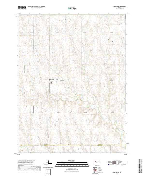
2022 Saint Peter
Graham County, KS
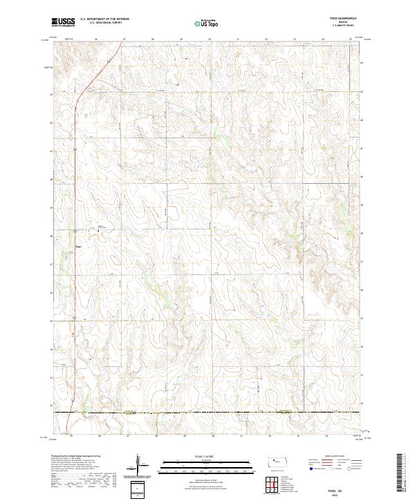
2022 Togo
Graham County, KS