1963 Map of Hill City 4 SW
USGS Topo · Published 1964About this map
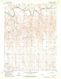
The Saline River winds through the northern portion of this Trego County landscape, carving a prominent valley across the high plains of western Kansas. Published in the early 1960s as part of the Department of the Interior program for the development of the Missouri River Basin, the topography reveals the transition from the upland Ogallah formation down toward the river's entrenched meanders. The map records a rural economy centered on resource extraction and agriculture, with several Oil Wells and a Gravel Pit positioned near Spring Creek. The grid of sections and townships is clearly defined, showing the sparse road network and scattered farmsteads that characterize this section of the Kansas plains during the mid-twentieth century.
Find a feature on this map
7 named features on this map. Tap any name to fly to it.
Don’t see what you’re looking for? This feature index may not catch every label — zoom into the map to look around manually.
Map Details
Editions of this 1963 Hill City 4 SW Map
2 editions found

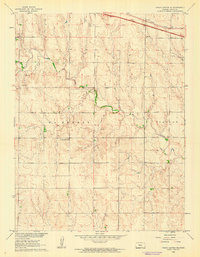
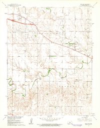
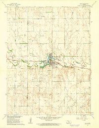
Other maps of this area

1893 · Ellis
USGS Topo · 1:125,000

1893 · Hill
USGS Topo · 1:125,000

1955 · Great Bend
USGS Topo · 1:250,000

1955 · Beloit
USGS Topo · 1:250,000

1957 · Great Bend
USGS Topo · 1:250,000

1958 · Great Bend
USGS Topo · 1:250,000

1959 · Beloit
USGS Topo · 1:250,000
1960 · Trego Center NE
USGS Topo · 1:24,000
1961 · Ogallah
USGS Topo · 1:24,000
1961 · Ellis
USGS Topo · 1:24,000