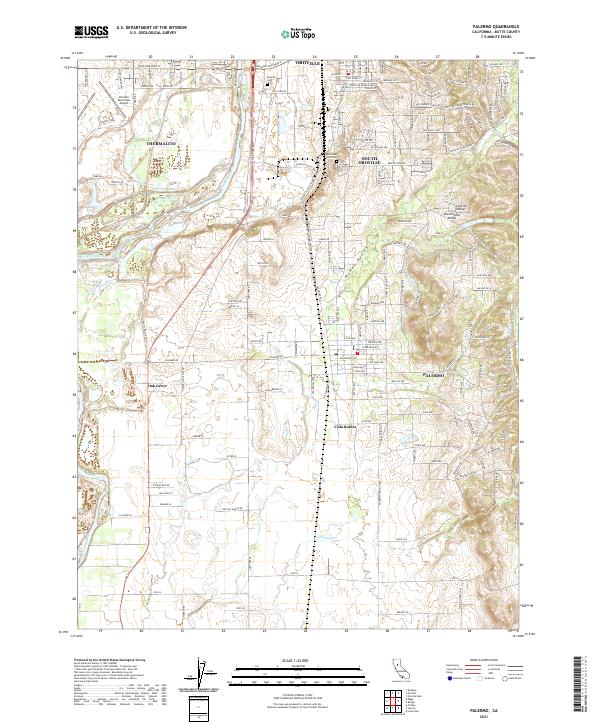
2021 Map of Palermo
USGS Topo · Published 2021About this map
Oroville and its surrounding communities dominate this 2021 landscape where the eastern edge of the Central Sacramento Valley meets the rising foothills. The geography is defined by the Feather River, which flows through the northern part of the map, and an intricate network of waterways including the Western Canal, Wyman Ravine, and Wyandotte Cr. Residential growth is evident in the developed street grids of South Oroville and Palermo, while smaller enclaves like Oak Grove and Vista Robles are interspersed among the lowlands.
Find a feature on this map
162 named features on this map. Tap any name to fly to it.
Don’t see what you’re looking for? This feature index may not catch every label — zoom into the map to look around manually.
Map Details
Editions of this 2021 Palermo Map
This is the sole edition of this map. No revisions or reprints were ever made.
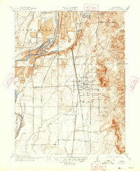
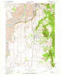
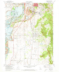
Historical Maps of Oroville Through Time
4 maps found