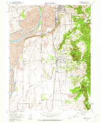
1952 Map of Palermo
USGS Topo · Published 1962About this map
The Feather River defines the western edge of this landscape in Butte County, where the industrial and agricultural heritage of the mid-twentieth century is clearly visible. The region is heavily influenced by transportation and water management, featuring both the Western Pacific and Southern Pacific railroads cutting through the central corridor. Industrial activity is centered around the W P Shops and extensive Tailings deposits along the riverbanks, reflecting a legacy of resource extraction.
Find a feature on this map
26 named features on this map. Tap any name to fly to it.
Don’t see what you’re looking for? This feature index may not catch every label — zoom into the map to look around manually.
Map Details
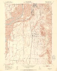
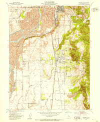
Editions of this 1952 Palermo Map
3 editions found
Other maps of this area

1888 · Marysville
USGS Topo · 1:125,000

1888 · Smartsville
USGS Topo · 1:125,000

1888 · Bidwell Bar
USGS Topo · 1:125,000

1891 · Bidwell Bar
USGS Topo · 1:125,000

1891 · Chico
USGS Topo · 1:125,000

1891 · Marysville
USGS Topo · 1:125,000

1891 · Smartsville
USGS Topo · 1:125,000

1892 · Smartsville
USGS Topo · 1:125,000

1893 · Chico
USGS Topo · 1:125,000

1893 · Bidwell Bar
USGS Topo · 1:125,000