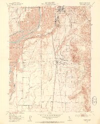
1952 Map of Palermo
USGS Topo · Published 1953About this map
The Feather River defines the western landscape of this Butte County region, where the industrial and agricultural patterns of the early 1950s are etched into the terrain. Extensive Dredge Tailings north of Palermo reveal the scale of historic gold mining operations that reshaped the earth along Wyman Ravine. These massive gravel deposits sit in contrast to the structured orchard and residential layouts of South Oroville and Thermalito.
Find a feature on this map
28 named features on this map. Tap any name to fly to it.
Don’t see what you’re looking for? This feature index may not catch every label — zoom into the map to look around manually.
Map Details
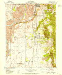
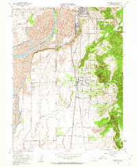
Editions of this 1952 Palermo Map
3 editions found
Other maps of this area

1888 · Marysville
USGS Topo · 1:125,000

1888 · Smartsville
USGS Topo · 1:125,000

1888 · Bidwell Bar
USGS Topo · 1:125,000

1891 · Bidwell Bar
USGS Topo · 1:125,000

1891 · Chico
USGS Topo · 1:125,000

1891 · Marysville
USGS Topo · 1:125,000

1891 · Smartsville
USGS Topo · 1:125,000

1892 · Smartsville
USGS Topo · 1:125,000

1893 · Chico
USGS Topo · 1:125,000

1893 · Bidwell Bar
USGS Topo · 1:125,000