2023 Map of Palo
USGS Topo · Published 2023About this map
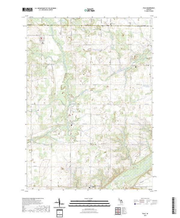
The Maple River valley anchors the southern edge of this West Michigan landscape, where the settlement of Muir stands just north of the water. The area is defined by a dense network of agricultural drainage systems, including the Hack and Keary Drain and Dalton Drain, which feed into larger arteries like Prairie Creek. This intricate water management system reflects the region's long-standing reliance on reclaimed farmland between the rolling elevations of the Montcalm and Ionia county line.
Find a feature on this map
63 named features on this map. Tap any name to fly to it.
Don’t see what you’re looking for? This feature index may not catch every label — zoom into the map to look around manually.
Map Details
Editions of this 2023 Palo Map
This is the sole edition of this map. No revisions or reprints were ever made.
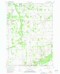
Historical Maps of Muir Through Time
Featured Locations
- Bloomer Township, MI
- Ionia Township, MI
- Lyons Township, MI
- North Plains Township, MI
- Muir, Lyons Township