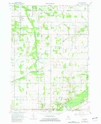
1967 Map of Palo
USGS Topo · Published 1982About this map
Palo and the northern edge of Muir anchor this mid-century survey of the rural borderlands between Montcalm and Ionia counties. The landscape is defined by the winding course of the Maple River in the south and the meandering Prairie Creek to the west, with an extensive network of drainage systems like Dutton Drain and Bonnie Drain supporting the agricultural grid. This era reveals a community structured around local education and civic life, evidenced by the scattered positions of the Hayes Sch, Schaeffer Sch, and the Townhall near the center of the sheet.
Find a feature on this map
60 named features on this map. Tap any name to fly to it.
Don’t see what you’re looking for? This feature index may not catch every label — zoom into the map to look around manually.
Map Details
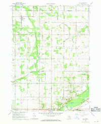
Editions of this 1967 Palo Map
2 editions found
Other maps of this area

1916 · Ionia
USGS Topo · 1:62,500

1918 · Ionia
USGS Topo · 1:62,500

1943 · Ionia
USGS Topo · 1:62,500

1945 · Portland
USGS Topo · 1:62,500

1954 · Midland
USGS Topo · 1:250,000

1958 · Midland
USGS Topo · 1:250,000

1958 · Grand Rapids
USGS Topo · 1:250,000

1959 · Midland
USGS Topo · 1:250,000

1961 · Grand Rapids
USGS Topo · 1:250,000

1962 · Grand Rapids
USGS Topo · 1:250,000