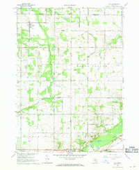
1967 Map of Palo
USGS Topo · Published 1968About this map
The village of Palo sits at the intersection of Van Vleck Road and Chipman Road, serving as a central hub for the surrounding agricultural townships in the late 1960s. This landscape is defined by an extensive network of drainage systems, including the Stoughton Drain, Hack and Keary Drain, and Bonnie Moor Drain, which channel water toward the Maple River in the south. These artificial and natural waterways highlight the region's historical reliance on land reclamation for farming.
Find a feature on this map
58 named features on this map. Tap any name to fly to it.
Don’t see what you’re looking for? This feature index may not catch every label — zoom into the map to look around manually.
Map Details
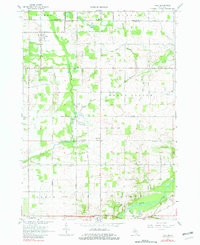
Editions of this 1967 Palo Map
2 editions found
Other maps of this area

1916 · Ionia
USGS Topo · 1:62,500

1918 · Ionia
USGS Topo · 1:62,500

1943 · Ionia
USGS Topo · 1:62,500

1945 · Portland
USGS Topo · 1:62,500

1954 · Midland
USGS Topo · 1:250,000

1958 · Midland
USGS Topo · 1:250,000

1958 · Grand Rapids
USGS Topo · 1:250,000

1959 · Midland
USGS Topo · 1:250,000

1961 · Grand Rapids
USGS Topo · 1:250,000

1962 · Grand Rapids
USGS Topo · 1:250,000