2024 Map of Pangburn
USGS Topo · Published 2024About this map
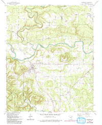
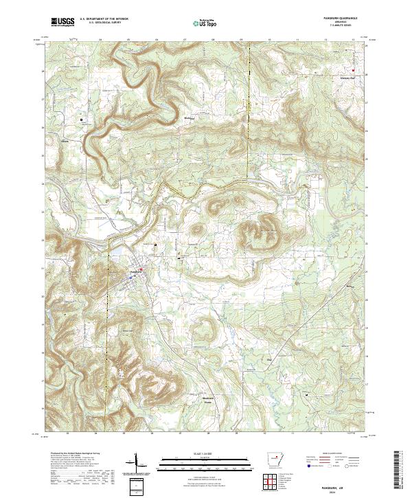
The Little Red River cuts through the center of this White County landscape, serving as a primary geographic anchor for the town of Pangburn. The town's grid is clearly defined, featuring Mt Zion and a central Church, while the surrounding hills are dotted with small agricultural settlements like Hiram and McJester. The map highlights a high density of small family and community burial grounds, including Barnett Cem, Faulkner Cem, and Howell Cem, which provide significant value for genealogical research in this part of Arkansas.
Find a feature on this map
94 named features on this map. Tap any name to fly to it.
Don’t see what you’re looking for? This feature index may not catch every label — zoom into the map to look around manually.
Map Details
Editions of this 2024 Pangburn Map
This is the sole edition of this map. No revisions or reprints were ever made.