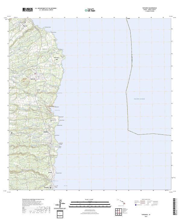
2024 Map of Papaikou
USGS Topo · Published 2024About this map
The Hamakua Coast of the Island of Hawai'i is defined here by a series of deep gulches and coastal settlements that once anchored the region's sugar industry. Modern routes like the Hawaii Belt Rd parallel the winding Old Mamalahoa Hwy, connecting communities from Honomu in the north down to Wainaku on the edge of Hilo Bay. The industrial legacy is anchored by the Pepe'ekeo Mill near Pepe'ekeo Point, while cultural and genealogical history is preserved at the Immaculate Heart of Mary Catholic Cem and Alae Cem. Numerous streams, including the Hanawi Stream and Ka'ie'ie Stream, carve through the terrain toward distinctive coastal features like the Onomea Arch at Onomea Bay. Further inland, the map identifies the Mauna Kea Memorial Park and the spectacular Waiahi Falls along the Honoli'i Stream.
Find a feature on this map
85 named features on this map. Tap any name to fly to it.
Don’t see what you’re looking for? This feature index may not catch every label — zoom into the map to look around manually.
Map Details
Editions of this 2024 Papaikou Map
This is the sole edition of this map. No revisions or reprints were ever made.
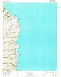
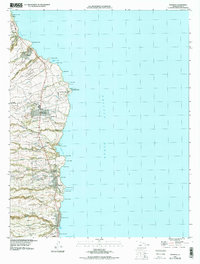
Historical Maps of Papaikou Through Time
3 maps found