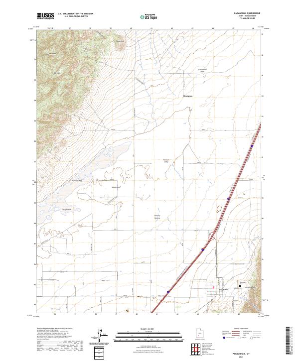
2023 Map of Paragonah
USGS Topo · Published 2023About this map
Paragonah sits at the base of the dramatic Hurricane Cliffs in the eastern edge of the Parowan Valley. This landscape is defined by the transition from the high, rugged elevations of Jackrabbit Mtn and the Red Hills to the alluvial flats of the valley floor. Water management and drainage are central to the area's layout, evidenced by the courses of Fremont Wash, Slough Wash, and Red Creek which cut across the terrain toward the lower basins. The rural character of the region is emphasized by small agricultural clusters like Wheatgrass and the prominent Paragonah Cem. Local transportation is anchored by a network of established routes including Kane Springs Rd and Little Creek Canyon Rd, which navigate the varying elevations between the Slough Bench and the open Chimney Meadow.
Find a feature on this map
29 named features on this map. Tap any name to fly to it.
Don’t see what you’re looking for? This feature index may not catch every label — zoom into the map to look around manually.
Map Details
Editions of this 2023 Paragonah Map
This is the sole edition of this map. No revisions or reprints were ever made.
Other maps of this area

1885 · Beaver
USGS Topo · 1:250,000

1886 · Kanab
USGS Topo · 1:250,000

1953 · Richfield
USGS Topo · 1:250,000

1953 · Cedar City
USGS Topo · 1:250,000

1958 · Richfield
USGS Topo · 1:250,000

1958 · Cedar City
USGS Topo · 1:250,000

1958 · Minersville
USGS Topo · 1:62,500

1962 · Cedar City
USGS Topo · 1:250,000

1971 · Buckhorn Flat
USGS Topo · 1:24,000

1971 · Paragonah
USGS Topo · 1:24,000