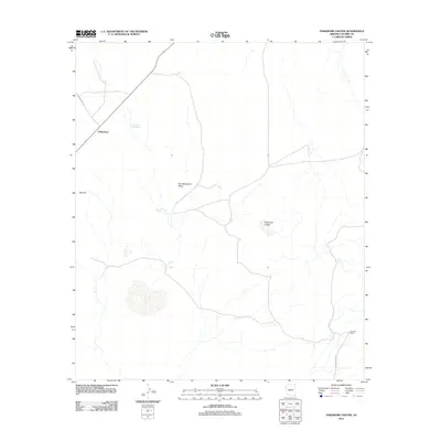
2011 Map of Paramore Crater
USGS Topo · Published 2011About this map
San Bernardino Valley dominates this high-desert landscape in southeastern Arizona, providing a clear view of the sparse ranching and transportation network that supports the region. The settlement of Chiricahua serves as a primary reference point, situated along the northwestern corridor where Texas Canyon Rd cuts through the terrain. Evidence of essential water management for livestock and desert survival appears in labels for the Chiricahua Siding Tank and Malpais Tank, highlighting the challenges of the arid climate.
Find a feature on this map
9 named features on this map. Tap any name to fly to it.
Don’t see what you’re looking for? This feature index may not catch every label — zoom into the map to look around manually.
Map Details
Editions of this 2011 Paramore Crater Map
This is the sole edition of this map. No revisions or reprints were ever made.
Other maps of this area

1917 · Chiricahua
USGS Topo · 1:125,000

1919 · Perilla
USGS Topo · 1:125,000

1919 · Chiricahua
USGS Topo · 1:125,000

1922 · McDonald
USGS Topo · 1:62,500

1926 · Pedregosa
USGS Topo · 1:62,500

1940 · Apache
USGS Topo · 1:62,500

1940 · College Peaks
USGS Topo · 1:62,500

1955 · Douglas
USGS Topo · 1:250,000

1958 · Apache
USGS Topo · 1:62,500

1958 · Guadalupe Canyon
USGS Topo · 1:62,500