2022 Map of Park Rapids
USGS Topo · Published 2022About this map
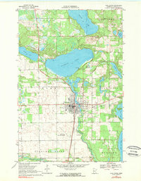
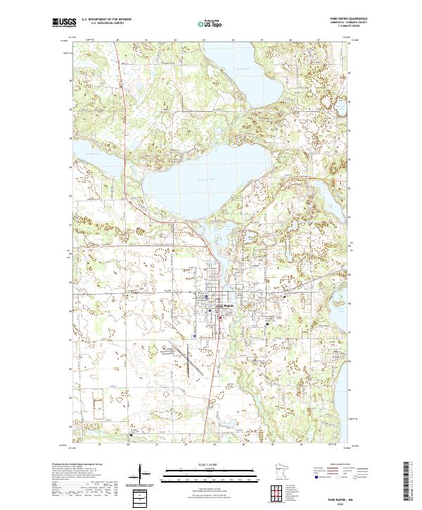
Park Rapids serves as the focal point of this 2022 Hubbard County survey, situated at the confluence of glacial lakes and river systems. The town is anchored by the Hubbard County Courthouse and features a clear grid system that transitions into recreational corridors like the Heartland State Trl. This trail, following a former rail alignment, cuts northeast through the landscape toward the shores of Fishhook Lake and Mud Lake. The drainage patterns of the Fishhook River and the Straight River to the south illustrate the hydrology that historically drove the region's development.
Find a feature on this map
148 named features on this map. Tap any name to fly to it.
Don’t see what you’re looking for? This feature index may not catch every label — zoom into the map to look around manually.
Map Details
Editions of this 2022 Park Rapids Map
This is the sole edition of this map. No revisions or reprints were ever made.