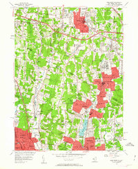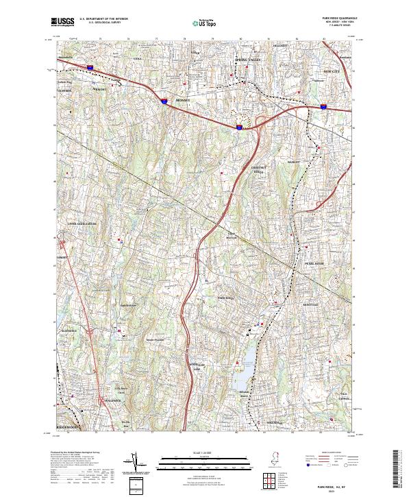
2023 Map of Park Ridge
USGS Topo · Published 2023About this map
Woodcliff Lake and its surrounding borough serve as a central geographic anchor on this detailed survey of the New Jersey and New York borderlands. The landscape is defined by the dense suburban network of Park Ridge, Montvale, and Saddle River, where traditional residential corridors meet the modern transit infrastructure of the NJ Transit line and the Garden State Pkwy. Numerous religious and educational institutions, such as Yeshiva Viznitz and Yeshiva Shaarei Torah of Rockland, reflect the region's cultural development. Historical continuity is visible in the many preserved burial grounds, including the Low Dutch Reformed Cem and Pascack Reformed Church Cem. Waterways like the West Branch Saddle River and Pascack Brook continue to shape the local topography, winding through established neighborhoods and past landmarks like the Villa Marie Claire and the quiet waters of Storm Pond.
Find a feature on this map
76 named features on this map. Tap any name to fly to it.
Don’t see what you’re looking for? This feature index may not catch every label — zoom into the map to look around manually.
Map Details
Editions of this 2023 Park Ridge Map
This is the sole edition of this map. No revisions or reprints were ever made.
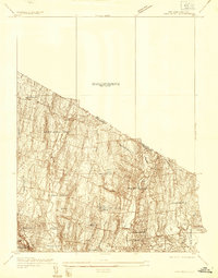
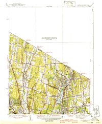
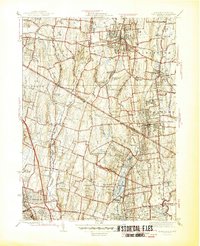
Historical Maps of Upper Montvale Through Time
6 maps found