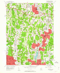
1955 Map of Park Ridge
USGS Topo · Published 1963About this map
The Saddle River valley and its surrounding highlands are captured here in the mid-1950s, a period of transition where pastoral landscapes met post-war expansion. Residential growth is concentrated in established centers like Pearl River, Spring Valley, and Park Ridge, while the western portion remains notably more wooded around Bear Swamp. The map highlights a diverse institutional landscape, including the Masonic Camp and Spring Valley General Hospital, alongside specialized schools like the Yeshiva Sch and Chestnut Grove Sch.
Find a feature on this map
92 named features on this map. Tap any name to fly to it.
Don’t see what you’re looking for? This feature index may not catch every label — zoom into the map to look around manually.
Map Details
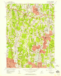
Editions of this 1955 Park Ridge Map
2 editions found
Other maps of this area

1888 · Paterson
USGS Topo · 1:62,500

1891 · Ramapo
USGS Topo · 1:62,500

1891 · Harlem
USGS Topo · 1:62,500

1892 · Paterson
USGS Topo · 1:62,500

1892 · Tarrytown
USGS Topo · 1:62,500

1893 · Tarrytown
USGS Topo · 1:62,500

1893 · Ramapo
USGS Topo · 1:62,500

1897 · Harlem
USGS Topo · 1:62,500

1898 · Harlem
USGS Topo · 1:62,500

1898 · Paterson
USGS Topo · 1:62,500