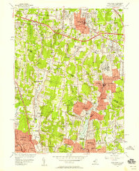
1955 Map of Park Ridge
USGS Topo · Published 1958About this map
The New York-New Jersey borderland is defined here by the suburban expansion and post-war infrastructure of the mid-1950s. The landscape is structured by major thoroughfares like the New York State Thruway and the Palisades Interstate Parkway, which cut through established communities such as Spring Valley and Pearl River. Significant water management is evident at Woodcliff Lake and Old Mill Pond, where the Pascack Brook and Saddle River drain the rolling terrain. The map captures a transition from localized landmarks like the Masonic Camp and Red Schoolhouse to institutional growth, represented by the Spring Valley General Hospital and various parochial schools including St Josephs Sch. This survey provides a clear view of the transportation networks, including the Erie RR and the New Jersey and New York RR, that facilitated the region's development during this era of rapid growth.
Find a feature on this map
84 named features on this map. Tap any name to fly to it.
Don’t see what you’re looking for? This feature index may not catch every label — zoom into the map to look around manually.
Map Details
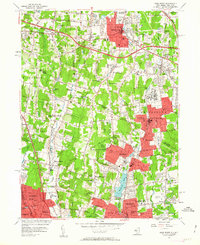
Editions of this 1955 Park Ridge Map
2 editions found
Other maps of this area

1888 · Paterson
USGS Topo · 1:62,500

1891 · Ramapo
USGS Topo · 1:62,500

1891 · Harlem
USGS Topo · 1:62,500

1892 · Paterson
USGS Topo · 1:62,500

1892 · Tarrytown
USGS Topo · 1:62,500

1893 · Tarrytown
USGS Topo · 1:62,500

1893 · Ramapo
USGS Topo · 1:62,500

1897 · Harlem
USGS Topo · 1:62,500

1898 · Harlem
USGS Topo · 1:62,500

1898 · Paterson
USGS Topo · 1:62,500