2022 Map of Parker
USGS Topo · Published 2022About this map
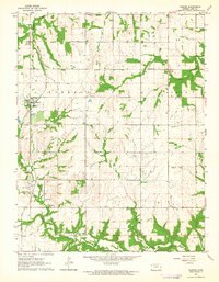
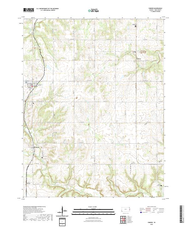
The town of Parker serves as the primary hub of this western Linn County landscape, where the local road network follows a rigid section-line grid typical of the Great Plains. Settlement is concentrated in small nodes like Goodrich, Cadmus, and Dunlay, each historically tied to the surrounding agricultural economy. The terrain is defined by the subtle drainage patterns of N Sugar Cr and Middle Cr, which carve gentle valleys through the prairie. Genealogists will find significant records in the numerous local burial grounds, including Highland Cem, Goodrich Cem, and the Elm Grove Cadmus Cem in the northeast. An unusual modern landmark, the G & S Space Port, sits in the southeast, suggesting a contemporary shift in land use within this traditionally rural area. The map preserves a network of named county routes like Gireau Rd and Keitel Rd that have served these communities for generations.
Find a feature on this map
43 named features on this map. Tap any name to fly to it.
Don’t see what you’re looking for? This feature index may not catch every label — zoom into the map to look around manually.
Map Details
Editions of this 2022 Parker Map
This is the sole edition of this map. No revisions or reprints were ever made.