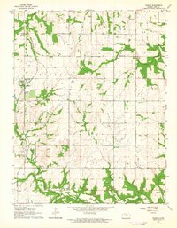
1963 Map of Parker
USGS Topo · Published 1964About this map
The Missouri - Kansas - Texas railroad corridor defines the western edge of this Linn County landscape, connecting the town of Parker with the smaller settlement at Goodrich. While Parker serves as the primary hub with its concentrated street grid, the surrounding townships of Liberty, Scott, and Centerville are dotted with small-scale agricultural and extraction features. Evidence of the region's energy economy is visible in several oil wells, a designated Oil Field to the east, and scattered drill holes. A network of rural institutions served this mid-century community, including the Cadmus Sch and several local burial grounds such as Cadmus Cem and Walnut Grove Cem. The terrain is drained by a series of waterways, most notably Middle Creek, Elm Creek, and the North Fork Sugar Creek, which carve deep contours into the prairie landscape.
Find a feature on this map
28 named features on this map. Tap any name to fly to it.
Don’t see what you’re looking for? This feature index may not catch every label — zoom into the map to look around manually.
Map Details
Editions of this 1963 Parker Map
This is the sole edition of this map. No revisions or reprints were ever made.
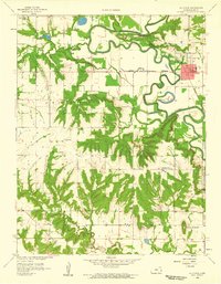
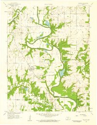
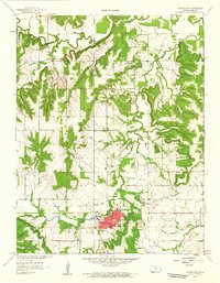
Other maps of this area

1885 · Garnett
USGS Topo · 1:125,000

1887 · Mound City
USGS Topo · 1:125,000

1893 · Mound City
USGS Topo · 1:125,000

1894 · Garnett
USGS Topo · 1:125,000

1947 · Lawrence
USGS Topo · 1:250,000

1950 · Lawrence
USGS Topo · 1:250,000

1956 · Lawrence
USGS Topo · 1:250,000
1958 · La Cygne
USGS Topo · 1:24,000
1958 · Fontana
USGS Topo · 1:24,000
1958 · Mound City
USGS Topo · 1:24,000