
1958 Map of La Cygne
USGS Topo · Published 1959About this map
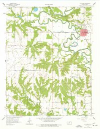
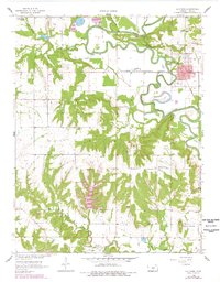
The Marais Des Cygnes River meanders heavily across this section of Linn County, shaping a landscape defined by its floodplains and tributary creeks. In the late 1950s, the town of La Cygne stood as a primary hub, situated near the St Louis and San Francisco RR. The surrounding rural landscape in Scott and Paris townships is dotted with small-scale institutions that once anchored these prairie communities, including the Prairie Home Sch and Brooklyn Sch, alongside the Twin Springs Ch to the northwest.
Find a feature on this map
27 named features on this map. Tap any name to fly to it.
Don’t see what you’re looking for? This feature index may not catch every label — zoom into the map to look around manually.
Map Details
Editions of this 1958 La Cygne Map
3 editions found
Other maps of this area

1887 · Mound City
USGS Topo · 1:125,000

1893 · Mound City
USGS Topo · 1:125,000

1947 · Lawrence
USGS Topo · 1:250,000

1950 · Lawrence
USGS Topo · 1:250,000

1956 · Lawrence
USGS Topo · 1:250,000
1957 · Boicourt
USGS Topo · 1:24,000
1957 · New Lancaster
USGS Topo · 1:24,000
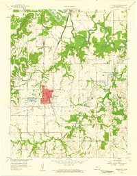
1958 · Pleasanton
USGS Topo · 1:24,000
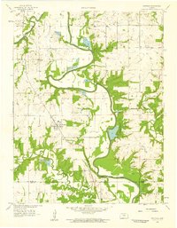
1958 · Fontana
USGS Topo · 1:24,000
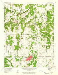
1958 · Mound City
USGS Topo · 1:24,000