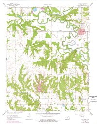
1958 Map of La Cygne
USGS Topo · Published 1978About this map
La Cygne sits along the winding course of the Marais Des Cygnes River, a landscape defined by significant river engineering and natural wetland conservation. The town is a central hub for the St Louis San Francisco railroad, which cuts through the river valley's floodplains. To the south, the Marais Des Cygnes Waterfowl Area underscores the region's importance as a natural habitat.
Find a feature on this map
25 named features on this map. Tap any name to fly to it.
Don’t see what you’re looking for? This feature index may not catch every label — zoom into the map to look around manually.
Map Details
Editions of this 1958 La Cygne Map
3 editions found
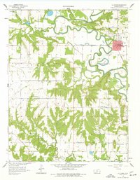
Other maps of this area

1887 · Mound City
USGS Topo · 1:125,000

1893 · Mound City
USGS Topo · 1:125,000

1947 · Lawrence
USGS Topo · 1:250,000

1950 · Lawrence
USGS Topo · 1:250,000

1956 · Lawrence
USGS Topo · 1:250,000
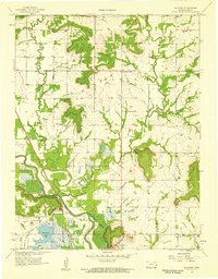
1957 · Boicourt
USGS Topo · 1:24,000
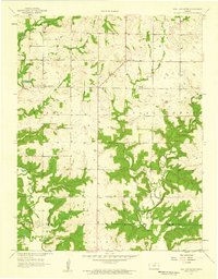
1957 · New Lancaster
USGS Topo · 1:24,000

1958 · La Cygne
USGS Topo · 1:24,000
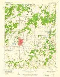
1958 · Pleasanton
USGS Topo · 1:24,000
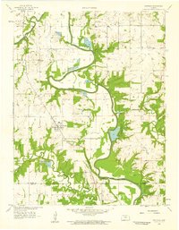
1958 · Fontana
USGS Topo · 1:24,000