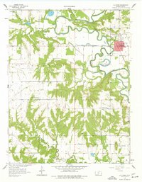
1958 Map of La Cygne
USGS Topo · Published 1977About this map
The Marais Des Cygnes River snakes in tight oxbows across the northern half of this Linn County landscape, defining the character of the river valley as it was in the late 1950s. The town of La Cygne serves as the regional hub, situated where the St Louis San Francisco railroad line intersects with the valley's drainage. To the south, the terrain rises toward Graveyard Mound, overlooking a network of rural schoolhouses and cemeteries including Prairie Home Sch and Brooklyn Cem. This survey captures a rural economy in transition, documented through numerous Oil Wells and a significant Oil Field along the southern border. The transition from agricultural bottomlands to upland grazing is marked by scattered landmarks like Twin Springs Ch and the designated Marais Des Cygnes Waterfowl Area, illustrating the area's dual focus on resource extraction and land conservation.
Find a feature on this map
28 named features on this map. Tap any name to fly to it.
Don’t see what you’re looking for? This feature index may not catch every label — zoom into the map to look around manually.
Map Details
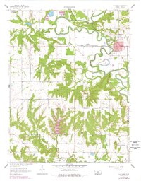
Editions of this 1958 La Cygne Map
3 editions found
Other maps of this area

1887 · Mound City
USGS Topo · 1:125,000

1893 · Mound City
USGS Topo · 1:125,000

1947 · Lawrence
USGS Topo · 1:250,000

1950 · Lawrence
USGS Topo · 1:250,000

1956 · Lawrence
USGS Topo · 1:250,000
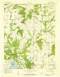
1957 · Boicourt
USGS Topo · 1:24,000
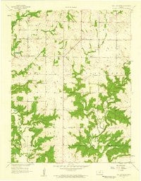
1957 · New Lancaster
USGS Topo · 1:24,000

1958 · La Cygne
USGS Topo · 1:24,000
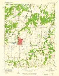
1958 · Pleasanton
USGS Topo · 1:24,000
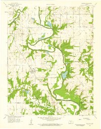
1958 · Fontana
USGS Topo · 1:24,000