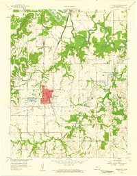
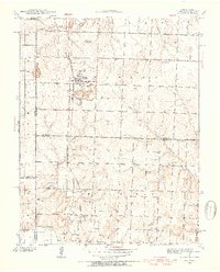
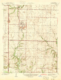
1958 Map of Pleasanton
USGS Topo · Published 1959About this map
Trading Post and the town of Pleasanton anchor this mid-century survey of eastern Linn County, where the Marais Des Cygnes River winds through its wide valley. The landscape is a study in transition, showing the managed wetlands of the Marais Des Cygnes Waterfowl Area alongside the industrial footprint of local Strip Mines. For genealogists, the map is particularly dense with rural landmarks, including the Green Valley Sch and Mound Valley Sch, and several family and community burial grounds such as Holmes Cem and Littell Cem. The rail-dominated history of the region is evident through the St Louis San Francisco line and a prominent Old Railroad Grade. This record of the Potosi township area captures the balance between river-fed agriculture and the encroaching coal and gravel industry in the late 1950s.
Find a feature on this map
33 named features on this map. Tap any name to fly to it.
Don’t see what you’re looking for? This feature index may not catch every label — zoom into the map to look around manually.
Map Details
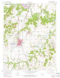
Editions of this 1958 Pleasanton Map
2 editions found
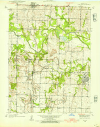
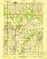
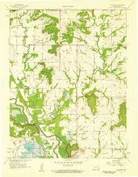
Other maps of this area

1887 · Mound City
USGS Topo · 1:125,000

1893 · Mound City
USGS Topo · 1:125,000
1938 · Worland
USGS Topo · 1:24,000
1940 · Worland
USGS Topo · 1:24,000
1940 · Hume
USGS Topo · 1:24,000
1942 · Hume
USGS Topo · 1:24,000

1947 · Lawrence
USGS Topo · 1:250,000

1950 · Lawrence
USGS Topo · 1:250,000

1956 · Lawrence
USGS Topo · 1:250,000
1957 · Boicourt
USGS Topo · 1:24,000