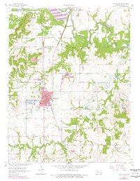
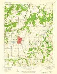
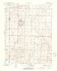
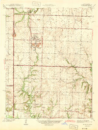
1958 Map of Pleasanton
USGS Topo · Published 1978About this map
Marais Des Cygnes Valley dominates the northern reaches of this Linn County survey, where a complex system of levees contains the Marais Des Cygnes River and Sugar Creek. This landscape is defined by the management of water and wildlife, anchored by the Marais Des Cygnes Waterfowl Area. The town of Pleasanton serves as the regional hub, situated along the St Louis San Francisco RR.
Find a feature on this map
38 named features on this map. Tap any name to fly to it.
Don’t see what you’re looking for? This feature index may not catch every label — zoom into the map to look around manually.
Map Details
Editions of this 1958 Pleasanton Map
2 editions found
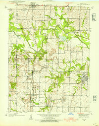
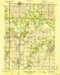
Other maps of this area

1887 · Mound City
USGS Topo · 1:125,000

1893 · Mound City
USGS Topo · 1:125,000
1938 · Worland
USGS Topo · 1:24,000
1940 · Worland
USGS Topo · 1:24,000
1940 · Hume
USGS Topo · 1:24,000
1942 · Hume
USGS Topo · 1:24,000

1947 · Lawrence
USGS Topo · 1:250,000

1950 · Lawrence
USGS Topo · 1:250,000

1956 · Lawrence
USGS Topo · 1:250,000
1957 · Boicourt
USGS Topo · 1:24,000