Loading...
Loading map...2024 Map of Parks
USGS Topo · Published 2024About this map
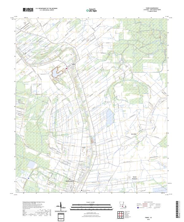
Bayou Teche winds through the heart of this St. Martin Parish landscape, serving as the central axis for the settlements of Parks and Levert. The map reveals a land defined by its intricate drainage network, where Cypress Island Coulee and Catahoula Coulee carve through the alluvial terrain. Near the southern boundary, the northern edge of St. Martinville appears, including the First United Methodist Church Cem, a key site for genealogical research in the region.
Find a feature on this map
103 named features on this map. Tap any name to fly to it.
Don’t see what you’re looking for? This feature index may not catch every label — zoom into the map to look around manually.
Map Details
Date Portrayed2024
Date Published2024
PublisherU.S. Geological Survey
Map TypeTopographic
Scale1:24000
Physical Dimensions24 x 29 inches
Editions of this 2024 Parks Map
This is the sole edition of this map. No revisions or reprints were ever made.
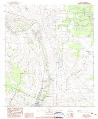
Historical Maps of Isle Labbe Through Time
Featured Locations
Source Details
SourceU.S. Geological Survey
CopyrightPublic Domain