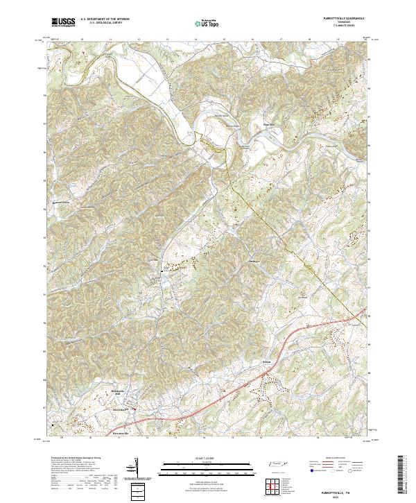
2022 Map of Parrottsville
USGS Topo · Published 2022About this map
Parrottsville serves as a central point of this landscape in East Tennessee, where the winding course of the Nolichucky River carves through the terrain. The river is punctuated by several historic navigation points, including Buleys Shoals, Nelsons Shoals, and Browns Shoals, while large landmasses like Bewley Island and Evans Island divide the current. This era shows a settled agricultural community defined by smaller hamlets such as Salem, Ottinger, and Bruner Grove. Local heritage is anchored by sites like Hameds Chapel and its associated graveyard, alongside the Ottinger Cem. Industrial and geographic landmarks like the Brookside Mill near the town center and prominent elevations such as Ellison Knob and The Knobs illustrate the region's varied topography. A dense network of family-named roads, such as Bewley Rd and Shelton Cemetery Rd, connects the deep hollows including Byrd Holt Hollow and Phillips Hollow.
Find a feature on this map
128 named features on this map. Tap any name to fly to it.
Don’t see what you’re looking for? This feature index may not catch every label — zoom into the map to look around manually.
Map Details
Editions of this 2022 Parrottsville Map
This is the sole edition of this map. No revisions or reprints were ever made.
Other maps of this area

1883 · Morristown
USGS Topo · 1:125,000

1892 · Greeneville
USGS Topo · 1:125,000

1893 · Mt Guyot
USGS Topo · 1:125,000

1893 · Morristown
USGS Topo · 1:125,000

1894 · Asheville
USGS Topo · 1:125,000

1895 · Morristown
USGS Topo · 1:125,000

1896 · Greeneville
USGS Topo · 1:125,000

1901 · Asheville
USGS Topo · 1:125,000

1904 · Greeneville
USGS Topo · 1:125,000

1912 · Mt Guyot
USGS Topo · 1:125,000