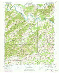
1939 Map of Parrottsville
USGS Topo · Published 1973About this map
Parrottsville serves as a focal point for this landscape where the Nolichucky River carves a winding path through the borderlands of Greene and Cocke counties. The area is defined by its deep spiritual and community roots, evidenced by a dense network of country churches like Luther Memorial Ch, Oven Creek Ch, and the Ottinger Shelton Chapel. These landmarks, along with family-named sites such as the Ottinger Cem, suggest a settled agricultural society where local life centered around the river bends and numerous creek branches.
Find a feature on this map
57 named features on this map. Tap any name to fly to it.
Don’t see what you’re looking for? This feature index may not catch every label — zoom into the map to look around manually.
Map Details
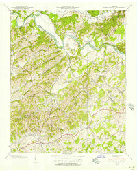
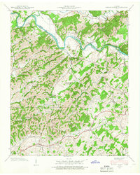
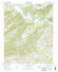
Editions of this 1939 Parrottsville Map
4 editions found
Other maps of this area

1883 · Morristown
USGS Topo · 1:125,000

1892 · Greeneville
USGS Topo · 1:125,000

1893 · Mt Guyot
USGS Topo · 1:125,000

1893 · Morristown
USGS Topo · 1:125,000

1894 · Asheville
USGS Topo · 1:125,000

1895 · Morristown
USGS Topo · 1:125,000

1896 · Greeneville
USGS Topo · 1:125,000

1901 · Asheville
USGS Topo · 1:125,000

1904 · Greeneville
USGS Topo · 1:125,000

1912 · Mt Guyot
USGS Topo · 1:125,000