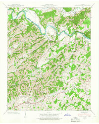
1939 Map of Parrottsville
USGS Topo · Published 1966About this map
Parrottsville sits at the southern edge of this Tennessee Valley Authority study, anchoring a landscape defined by the winding course of the Nolichucky River. The terrain is densely populated with community institutions from the late 1930s, including a high concentration of rural schools such as Holt Sch and Easterly Sch, alongside numerous houses of worship like Bewley Chapel and Harned Chapel. The map captures the interface between the Greene and Cocke County line, where the river creates distinctive features like Bewley Island and Evans Island. Local industry and geography are noted through the Brookside Mill on Clear Creek and physical landmarks like the Natural Bridge and Arch Cave. This document provides a detailed view of the pre-war agricultural and social network in eastern Tennessee before modern infrastructure reshaped the valley.
Find a feature on this map
44 named features on this map. Tap any name to fly to it.
Don’t see what you’re looking for? This feature index may not catch every label — zoom into the map to look around manually.
Map Details
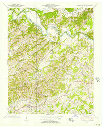
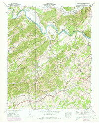
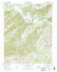
Editions of this 1939 Parrottsville Map
4 editions found
Other maps of this area

1883 · Morristown
USGS Topo · 1:125,000

1892 · Greeneville
USGS Topo · 1:125,000

1893 · Mt Guyot
USGS Topo · 1:125,000

1893 · Morristown
USGS Topo · 1:125,000

1894 · Asheville
USGS Topo · 1:125,000

1895 · Morristown
USGS Topo · 1:125,000

1896 · Greeneville
USGS Topo · 1:125,000

1901 · Asheville
USGS Topo · 1:125,000

1904 · Greeneville
USGS Topo · 1:125,000

1912 · Mt Guyot
USGS Topo · 1:125,000