
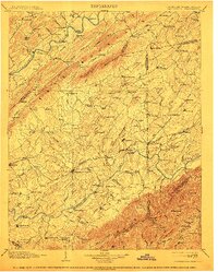
1904 Map of Greeneville
USGS Topo · Published 1904About this map
Greeneville serves as the central hub for this late 19th-century landscape, positioned where the Southern R. R. cuts through the valleys of East Tennessee. The terrain is defined by the sharp ridges of Bays Mountain and the Bald Mts., which flank the fertile basins of the Holston River and Nolichucky River. This survey captures a period of early regional educational importance, notably marking both Washington College and Woolsey College. Settlement is dense and dispersed along the drainage of Limestone Creek and Richland Cr., characterized by family-named localities and small commercial centers like Hawes Crossroads and Bashors Mill. The map documents the vital infrastructure of the era before modern highway systems, detailing river crossings such as Britton Ferry and the Earnest Bridge, as well as the path of the Bristol and Chattanooga Line.
Find a feature on this map
177 named features on this map. Tap any name to fly to it.
Don’t see what you’re looking for? This feature index may not catch every label — zoom into the map to look around manually.
Map Details
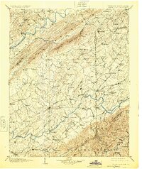
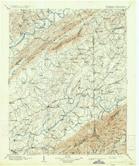
Editions of this 1904 Greeneville Map
4 editions found
Other maps of this area

1883 · Morristown
USGS Topo · 1:125,000

1887 · Jonesville
USGS Topo · 1:125,000

1891 · Roan Mountain
USGS Topo · 1:125,000

1891 · Jonesville
USGS Topo · 1:125,000

1892 · Greeneville
USGS Topo · 1:125,000

1893 · Mt Guyot
USGS Topo · 1:125,000

1893 · Morristown
USGS Topo · 1:125,000

1894 · Asheville
USGS Topo · 1:125,000

1894 · Roan Mountain
USGS Topo · 1:125,000

1894 · Estillville
USGS Topo · 1:125,000