
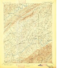
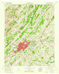
1896 Map of Greeneville
USGS Topo · Published 1896About this map
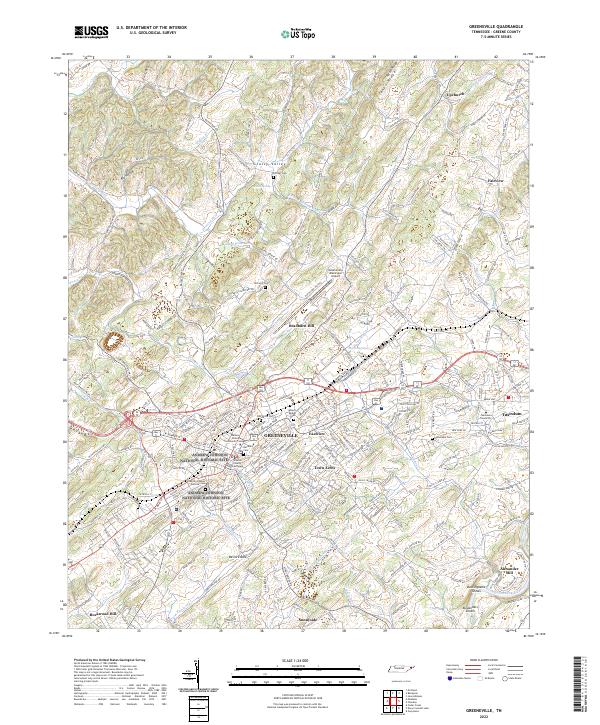
Greeneville serves as the central hub of this East Tennessee landscape, situated where the Southern R. R. intersects with established wagon roads in the late 19th century. The terrain is defined by the parallel paths of the Holston River to the north and the Nolichucky River to the south, both of which were vital corridors for transport and settlement. Before modern bridges dominated the region, local transit relied on crossings such as Britton Ferry and Love Ferry, alongside historic spans like Earnest Bridge.
Find a feature on this map
163 named features on this map. Tap any name to fly to it.
Don’t see what you’re looking for? This feature index may not catch every label — zoom into the map to look around manually.
Map Details
Editions of this 1896 Greeneville Map
2 editions found
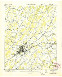
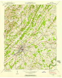
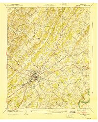
Historical Maps of Johnson City Through Time
12 maps found

1892 Greeneville
Greene County, TN
1896 Greeneville
Greene County, TN

1904 Greeneville
Greene County, TN
1936 Greeneville
Greene County, TN
1939 Greeneville
Greene County, TN
1940 Greeneville
Greene County, TN
1961 Greeneville
Greene County, TN
2010 Greeneville
Greene County, TN
2013 Greeneville
Greene County, TN
2016 Greeneville
Greene County, TN
2019 Greeneville
Greene County, TN
2022 Greeneville
Greene County, TN