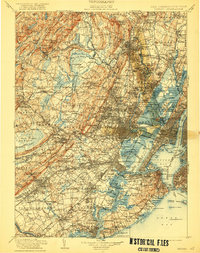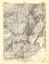
1942 Map of Passaic
USGS Topo · Published 1942About this map
The Passaic River meanders through a dense corridor of early 1940s industrial and residential growth, anchoring the major urban centers of Paterson and Passaic. Prepared by the Army Corps of Engineers just as the United States entered World War II, the map reveals a landscape defined by its complex water systems, from the shipping channels of Newark Bay and the Arthur Kill to the inland reservoirs like Boonton Reservoir and Oradell Res. that sustained these growing municipalities. The terrain transitions from the coastal lowlands of the Upper New York Bay to the rising elevations of the Watchung Mountains. Notable landmarks like Snake Hill stand in relief against the sprawling network of settlements including Hackensack, Lodi, and Pequannock, illustrating the suburbanization and infrastructure that connected the northern New Jersey counties to the greater New York metropolitan area.
Find a feature on this map
107 named features on this map. Tap any name to fly to it.
Don’t see what you’re looking for? This feature index may not catch every label — zoom into the map to look around manually.
Map Details
Editions of this 1942 Passaic Map
This is the sole edition of this map. No revisions or reprints were ever made.
Historical Maps of Copley Estates Through Time
3 maps found