2023 Map of Paw Paw
USGS Topo · Published 2023About this map
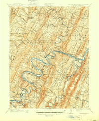
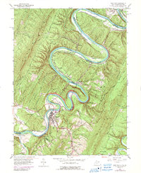
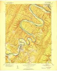
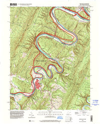
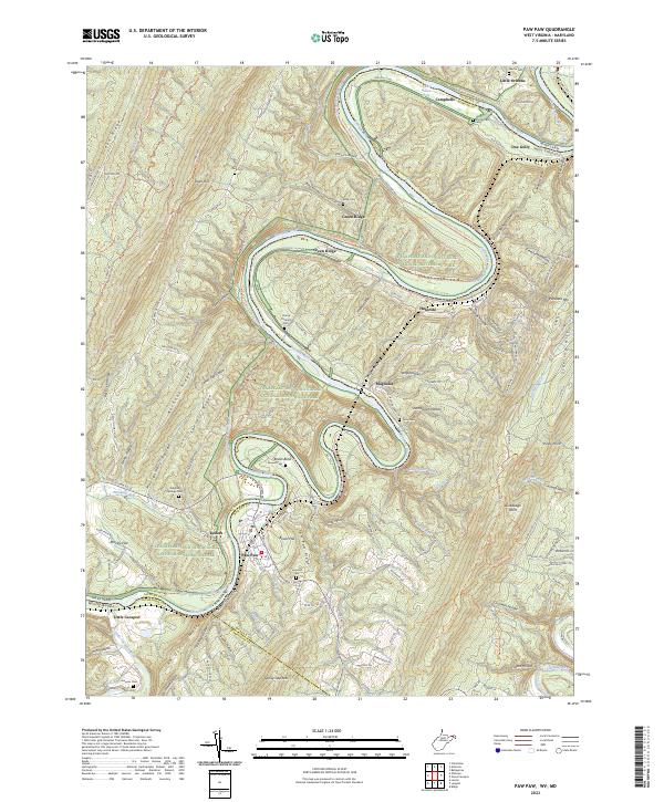
The Potomac River carves a dramatic series of horseshoe bends through the ridge-and-valley landscape of the West Virginia and Maryland border, most notably at Bevan Bend. This 2023 survey documents the town of Paw Paw and the surrounding mountain terrain, where the Chesapeake and Ohio Canal National Historical Park follows the river's winding course. The map highlights the complex topography of Green Ridge, Town Hill, and Sideling Hill, which historically dictated the paths of transportation and settlement in the region.
Find a feature on this map
131 named features on this map. Tap any name to fly to it.
Don’t see what you’re looking for? This feature index may not catch every label — zoom into the map to look around manually.
Map Details
Editions of this 2023 Paw Paw Map
This is the sole edition of this map. No revisions or reprints were ever made.
Historical Maps of Magnolia Through Time
7 maps found