Loading...
Loading map...2024 Map of Paxville
USGS Topo · Published 2024About this map
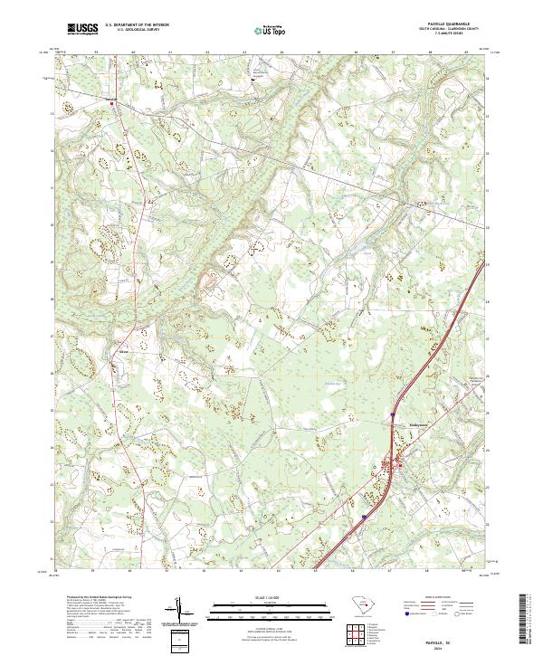
Paxville and the surrounding rural corridors of Clarendon County are defined by a complex network of slow-moving water and wetlands. In the north, Home Branch Church and an adjacent graveyard anchor a landscape where Home Branch and Sammy Swamp drain through the wooded terrain. The settlement of Silver sits near the confluence of Knife Branch and the larger swamp system, reflecting the historic reliance on these natural drainage patterns for local land use.
Find a feature on this map
94 named features on this map. Tap any name to fly to it.
Don’t see what you’re looking for? This feature index may not catch every label — zoom into the map to look around manually.
Map Details
Date Portrayed2024
Date Published2024
PublisherU.S. Geological Survey
Map TypeTopographic
Scale1:24000
Physical Dimensions24 x 29 inches
Editions of this 2024 Paxville Map
This is the sole edition of this map. No revisions or reprints were ever made.
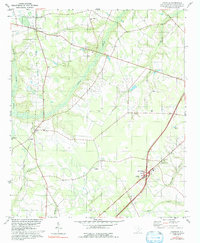
Historical Maps of Paxville Through Time
Featured Locations
Source Details
SourceU.S. Geological Survey
CopyrightPublic Domain