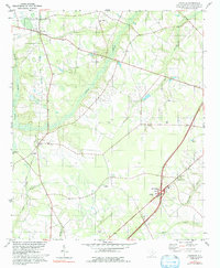
1979 Map of Paxville
USGS Topo · Published 1992About this map
The town of Paxville and the surrounding Clarendon County landscape are defined by a network of slow-moving watercourses like Sammy Swamp and Home Branch. During this era of the late 1970s, the rural character is anchored by numerous community landmarks, particularly a high density of country churches including Mt Zion Ch, St Johns Ch, and Friendship Ch. The physical geography is marked by elliptical bays and depressions typical of the region, while human industry is evidenced by a Claypit and a Sewage Disposal facility near Interchange 115. An Old Railroad Grade cuts a straight path south from Paxville through Silver, tracing a departed line of commerce that once connected these agricultural settlements. To the south, the terrain descends toward the headwaters of Tawcaw Cr and Jacks Creek, where a Lookout Tower stands as a sentinel over the wooded lowlands.
Find a feature on this map
25 named features on this map. Tap any name to fly to it.
Don’t see what you’re looking for? This feature index may not catch every label — zoom into the map to look around manually.
Map Details
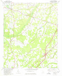
Editions of this 1979 Paxville Map
2 editions found
Other maps of this area

1920 · Mayesville
USGS Topo · 1:48,000

1920 · Manning
USGS Topo · 1:48,000

1921 · Manning
USGS Topo · 1:62,500

1921 · Mayesville
USGS Topo · 1:62,500

1943 · Mayesville
USGS Topo · 1:62,500

1944 · Manning
USGS Topo · 1:62,500

1946 · Sumter
USGS Topo · 1:62,500

1954 · Augusta
USGS Topo · 1:250,000

1957 · Sumter
USGS Topo · 1:62,500

1957 · Augusta
USGS Topo · 1:250,000