
Loading...
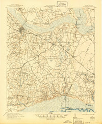
Loading map...1920 Map of Manning
USGS Topo · Published 1920About this map
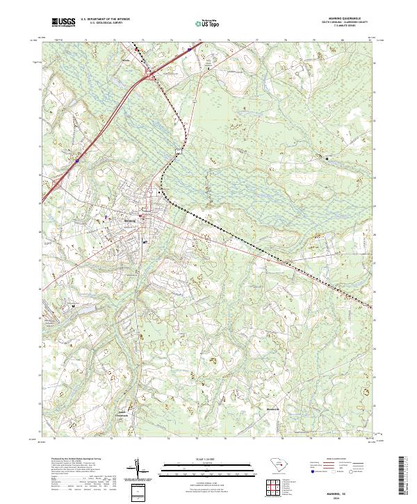
Manning serves as the central hub of this 1920 survey, where the Atlantic Coast Line and the Northwestern Railroad of South Carolina intersect. The landscape is defined by the heavy drainage patterns of the Pocotaligo River Swamp and Black River Swamp, creating a complex network of wetlands punctuated by numerous "bays" such as Big Junkyard Bay and Cypress Bay.
Find a feature on this map
84 named features on this map. Tap any name to fly to it.
Don’t see what you’re looking for? This feature index may not catch every label — zoom into the map to look around manually.
Map Details
Date Portrayed1920
Date Published1920
PublisherU.S. Geological Survey
Map TypeTopographic
Scale1:48,000
Physical Dimensions22.5 x 26.6 inches
Editions of this 1920 Manning Map
This is the sole edition of this map. No revisions or reprints were ever made.
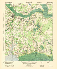
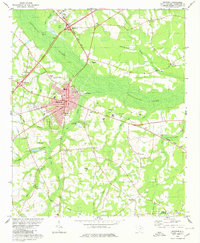
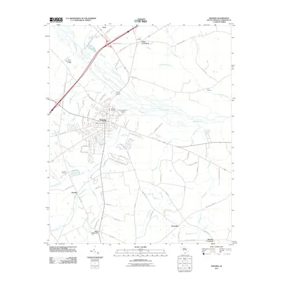
Historical Maps of Manning Through Time
9 maps found
Featured Locations
Source Details
SourceU.S. Geological Survey
CopyrightPublic Domain