
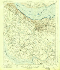
1920 Map of Eutawville
USGS Topo · Published 1920About this map
The Eutaw Battle Monument marks a pivotal historic site just east of the established town of Eutawville, where the landscape transitions from the high banks of the Santee River into the vast wetland systems of Four Hole Swamp. This 1919-1920 survey captures the region's agricultural and lumbering economy before modern dam projects altered the river's course. A dense network of community infrastructure is visible, including numerous churches like Live Oak Church, Gerizim Church, and Springfield Church, alongside segregated or local education centers such as Target School and Oak Grove School. The Atlantic Coast Line and various regional thoroughfares like Gaillard Road and Coast Road connect the primary settlements of Holly Hill, Vance, and Bulls. The presence of a Lumber Railroad in the northwest corner highlights the importance of the timber industry in the Lowcountry's bottomlands during this era.
Find a feature on this map
63 named features on this map. Tap any name to fly to it.
Don’t see what you’re looking for? This feature index may not catch every label — zoom into the map to look around manually.
Map Details
Editions of this 1920 Eutawville Map
This is the sole edition of this map. No revisions or reprints were ever made.
Historical Maps of Holly Hill Through Time
9 maps found
1920 Eutawville
Orangeburg County, SC
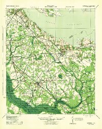
1921 Eutawville
Orangeburg County, SC
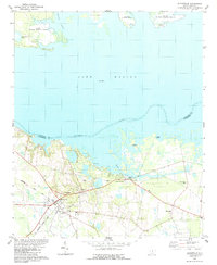
1943 Eutawville
Orangeburg County, SC
1979 Eutawville
Orangeburg County, SC
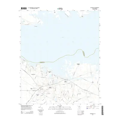
2011 Eutawville
Orangeburg County, SC
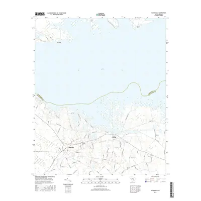
2014 Eutawville
Orangeburg County, SC
2017 Eutawville
Orangeburg County, SC
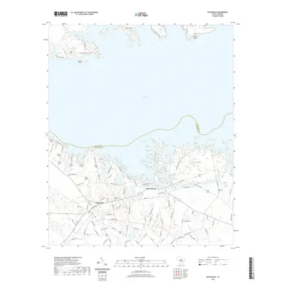
2020 Eutawville
Orangeburg County, SC
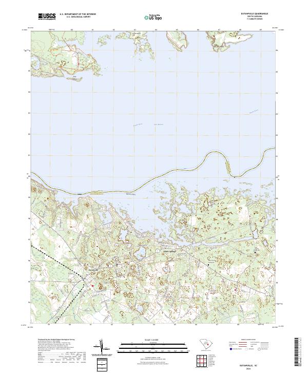
2024 Eutawville
Orangeburg County, SC