
1920 Map of Summerville
USGS Topo · Published 1920About this map
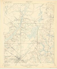
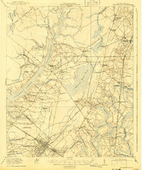
Summerville and the surrounding Lowcountry of the Berkeley and Dorchester county border are captured here just after the First World War. The landscape is defined by vast wetland systems including Cypress Swamp and Wassamassaw Swamp, which dictate the placement of early settlements and roads. Agricultural research is evident at the Clemson Coast Experiment Station, reflecting the era's focus on scientific farming.
Find a feature on this map
62 named features on this map. Tap any name to fly to it.
Don’t see what you’re looking for? This feature index may not catch every label — zoom into the map to look around manually.
Map Details
Editions of this 1920 Summerville Map
3 editions found
Other maps of this area

1918 · Cottageville
USGS Topo · 1:62,500

1919 · Ladson
USGS Topo · 1:21,120

1919 · Summerville
USGS Topo · 1:48,000

1919 · Ridgeville
USGS Topo · 1:48,000

1919 · Cordesville
USGS Topo · 1:48,000

1919 · Melgrove
USGS Topo · 1:21,120

1920 · Eutawville
USGS Topo · 1:48,000

1920 · Chicora
USGS Topo · 1:48,000

1920 · Ravenels
USGS Topo · 1:62,500

1920 · Ridgeville
USGS Topo · 1:62,500