
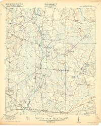
1918 Map of Cottageville
USGS Topo · Published 1918About this map
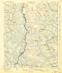
The Edisto River winds through a dense network of lowland wetlands at the end of the First World War, defining the boundary between Colleton, Dorchester, and Charleston counties. This interior coastal plain landscape is characterized by its numerous labeled swamps, including Big Swamp, Caw Caw Swamp, and McLaughlin Swamp, which historically dictated the placement of settlements and transit. Small rural communities and crossroads hubs like Cottageville and Gettysville are connected by early thoroughfares such as the Willtown Road and Charleston Road.
Find a feature on this map
92 named features on this map. Tap any name to fly to it.
Don’t see what you’re looking for? This feature index may not catch every label — zoom into the map to look around manually.
Map Details
Editions of this 1918 Cottageville Map
3 editions found
Other maps of this area

1918 · Walterboro
USGS Topo · 1:62,500

1918 · Green Pond
USGS Topo · 1:62,500

1919 · Summerville
USGS Topo · 1:48,000

1919 · Edisto Island
USGS Topo · 1:62,500

1919 · Ridgeville
USGS Topo · 1:48,000

1919 · Wadmelaw Island
USGS Topo · 1:62,500

1920 · Ravenels
USGS Topo · 1:62,500

1920 · Ridgeville
USGS Topo · 1:62,500

1920 · St. George
USGS Topo · 1:48,000

1920 · Summerville
USGS Topo · 1:62,500