
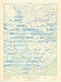
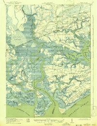
1919 Map of Edisto Island
USGS Topo · Published 1919About this map
Edisto Island and the surrounding Sea Islands of South Carolina are captured here just after World War I, revealing a landscape defined by its intricate waterways and long-standing coastal settlements. The map highlights the transition from river-based transport to rail, with the Seaboard Air Line and a Logging RR cutting through the interior while traditional points like Steamboat Landing and White Point Landing remain vital.
Find a feature on this map
84 named features on this map. Tap any name to fly to it.
Don’t see what you’re looking for? This feature index may not catch every label — zoom into the map to look around manually.
Map Details
Editions of this 1919 Edisto Island Map
3 editions found
Other maps of this area

1918 · Walterboro
USGS Topo · 1:62,500

1918 · Green Pond
USGS Topo · 1:62,500

1918 · Cottageville
USGS Topo · 1:62,500

1919 · Wadmelaw Island
USGS Topo · 1:62,500

1920 · St. Helena Sound
USGS Topo · 1:62,500

1920 · Ravenels
USGS Topo · 1:62,500

1943 · Cottageville
USGS Topo · 1:62,500

1943 · Edisto Island
USGS Topo · 1:62,500

1943 · Green Pond
USGS Topo · 1:62,500

1943 · Walterboro
USGS Topo · 1:62,500