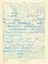
1919 Map of Edisto Island
USGS Topo · Published 1932About this map
Jehossee Island and the intricate coastal archipelago of the Edisto River delta dominate this 1918 survey. The landscape is a complex network of saltwater marshes, creeks, and islands, including Little Edisto Island, Sampson Island, and Hutchinson Island. Human settlement is concentrated along established landmarks like Willtown Bluff and small communities such as Little Edisto and Edisto Island. Education is represented by the Borough School and Seaside School, while the presence of Freedman Village near the coast offers a specific look at post-Reconstruction settlement patterns.
Find a feature on this map
85 named features on this map. Tap any name to fly to it.
Don’t see what you’re looking for? This feature index may not catch every label — zoom into the map to look around manually.
Map Details
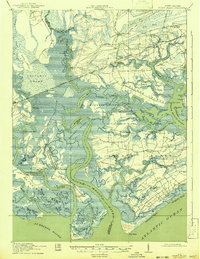
Editions of this 1919 Edisto Island Map
3 editions found
Other maps of this area

1918 · Walterboro
USGS Topo · 1:62,500

1918 · Green Pond
USGS Topo · 1:62,500

1918 · Cottageville
USGS Topo · 1:62,500

1919 · Edisto Island
USGS Topo · 1:62,500

1919 · Wadmelaw Island
USGS Topo · 1:62,500

1920 · St. Helena Sound
USGS Topo · 1:62,500

1920 · Ravenels
USGS Topo · 1:62,500

1943 · Cottageville
USGS Topo · 1:62,500

1943 · Edisto Island
USGS Topo · 1:62,500

1943 · Green Pond
USGS Topo · 1:62,500