
1918 Map of Green Pond
USGS Topo · Published 1918About this map
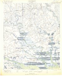
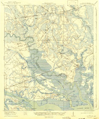
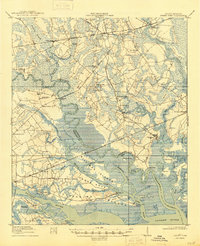
The Combahee River and Ashepoo River dominate this coastal South Carolina landscape, defining a network of islands and tidal marshes at the end of the Great War. This 1918 survey documents a region where river transport and early rail lines, like the Atlantic Coast Line and Seaboard Air Line, intersected to move goods from inland plantations and settlements. Distinctive landmarks such as the Combahee Ferry and the Old Fort indicate long-standing strategic sites along these waterways.
Find a feature on this map
65 named features on this map. Tap any name to fly to it.
Don’t see what you’re looking for? This feature index may not catch every label — zoom into the map to look around manually.
Map Details
Editions of this 1918 Green Pond Map
4 editions found
Other maps of this area

1918 · Walterboro
USGS Topo · 1:62,500

1918 · Yemassee
USGS Topo · 1:62,500

1918 · Cottageville
USGS Topo · 1:62,500

1919 · Edisto Island
USGS Topo · 1:62,500

1919 · Cummings
USGS Topo · 1:62,500

1920 · Okatie
USGS Topo · 1:62,500

1920 · St. Helena Sound
USGS Topo · 1:62,500

1942 · Okatie
USGS Topo · 1:62,500

1943 · Cottageville
USGS Topo · 1:62,500

1943 · Edisto Island
USGS Topo · 1:62,500