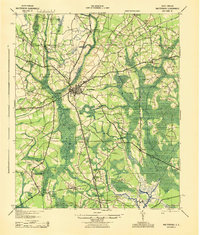
1943 Map of Walterboro
USGS Topo · Published 1943About this map
The town of Walterboro serves as the focal point for this wartime South Carolina coastal plain survey, situated where the Atlantic Coast Line railroad and several arterial roads converge. The surrounding landscape is defined by the complex drainage of the Ashepoo River and Horseshoe Creek, where the low-lying terrain is punctuated by small settlements like Hendersonville and Ritter. A dense network of community infrastructure appears in the rural outlying areas, including Great Swamp Ch, Catholic Hill, and Liveoak Cemetery.
Find a feature on this map
69 named features on this map. Tap any name to fly to it.
Don’t see what you’re looking for? This feature index may not catch every label — zoom into the map to look around manually.
Map Details
Editions of this 1943 Walterboro Map
This is the sole edition of this map. No revisions or reprints were ever made.
Historical Maps of Walterboro Through Time
10 maps found
1918 Walterboro
Colleton County, SC
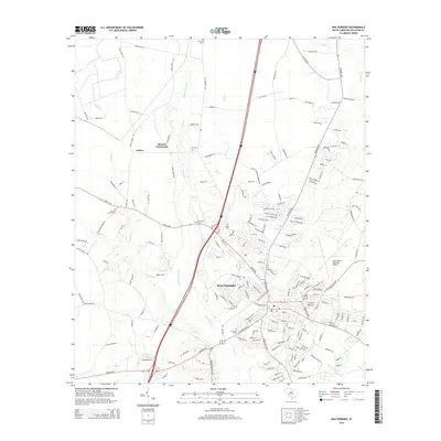
1943 Walterboro
Colleton County, SC

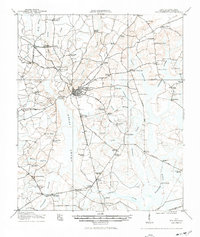
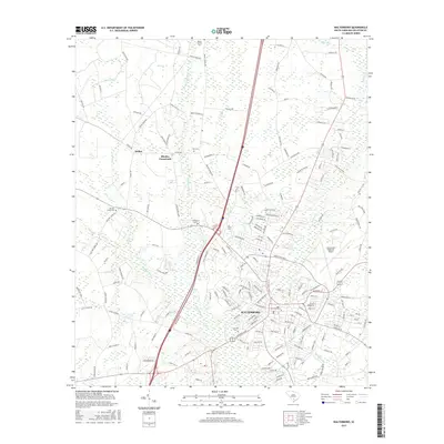
1986 Walterboro
Colleton County, SC
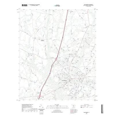
1988 Walterboro
Colleton County, SC

1990 Walterboro
Colleton County, SC
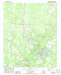
2011 Walterboro
Colleton County, SC
2014 Walterboro
Colleton County, SC
2017 Walterboro
Colleton County, SC
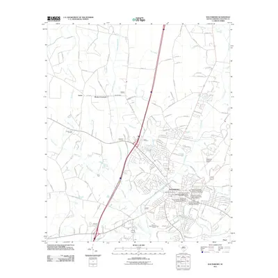
2020 Walterboro
Colleton County, SC
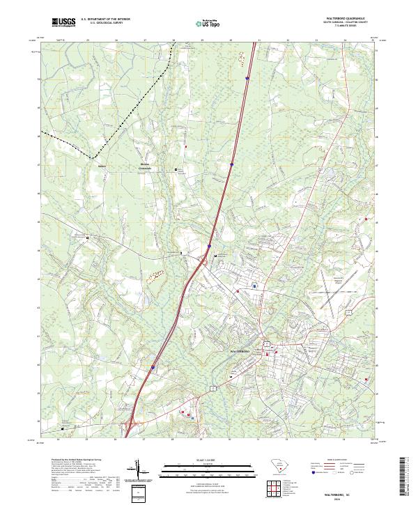
2024 Walterboro
Colleton County, SC