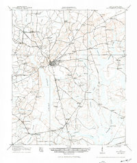
1918 Map of Walterboro
USGS Topo · Published 1942About this map
Walterboro serves as the central hub of this South Carolina lowcountry landscape during the First World War era, where a dense network of country roads radiates toward established crossroads like Rhodes Crossroads and Drigger Crossroad. The geography is defined by the expansive Great Swamp and Big Bay Swamp, with numerous churches and schools—such as Catholic Hill, Evergreen Church, and Peoples School—anchoring the rural communities between the waterways. Heavy dependence on the regional drainage is evident in the naming of features like Millers Ford and Sandy Dam Branch. For genealogists, the map preserves the exact locations of family-centric landmarks and small settlements like Smokes Corners and Hendersonville before modern highway development. Local transit is dominated by the Atlantic Coast Line and various Tramway segments, which intersect the landscape alongside major thoroughfares like the Savannah Road and Charleston Road.
Find a feature on this map
80 named features on this map. Tap any name to fly to it.
Don’t see what you’re looking for? This feature index may not catch every label — zoom into the map to look around manually.
Map Details
Editions of this 1918 Walterboro Map
4 editions found
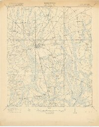
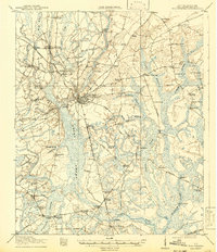
Other maps of this area

1918 · Walterboro
USGS Topo · 1:62,500

1918 · Green Pond
USGS Topo · 1:62,500

1918 · Yemassee
USGS Topo · 1:62,500

1918 · Cottageville
USGS Topo · 1:62,500

1919 · Edisto Island
USGS Topo · 1:62,500

1919 · Ridgeville
USGS Topo · 1:48,000

1919 · Cummings
USGS Topo · 1:62,500

1919 · Lodge
USGS Topo · 1:62,500

1920 · Lodge
USGS Topo · 1:48,000

1920 · Ridgeville
USGS Topo · 1:62,500