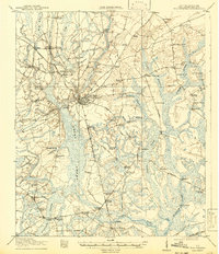
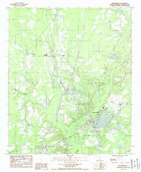
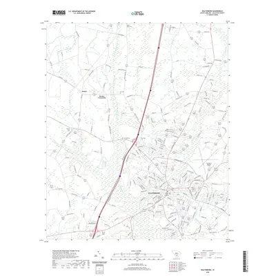
1918 Map of Walterboro
USGS Topo · Published 1942About this map
The town of Walterboro serves as the focal point for this Lowcountry landscape, where the Atlantic Coast Line railroad and local thoroughfares like Charleston Road intersect. Surveyed just before the 1920s, the map reveals a dense network of rural infrastructure, including numerous schools like Mashawville School and Koger School, alongside an array of spiritual centers such as Grace Church and Canaan Church. The geography is defined by its water systems, particularly the Great Swamp and the Ashepoo River, which dictated the placement of important crossings like Horseshoe Bridge and Fishpond Bridge. Settlements such as Catholic Hill, Ritter, and Stokes appear during a period of agricultural and rail-based commerce, providing a precise look at the land use and community placement of Colleton County during this era.
Find a feature on this map
73 named features on this map. Tap any name to fly to it.
Don’t see what you’re looking for? This feature index may not catch every label — zoom into the map to look around manually.
Map Details
Editions of this 1918 Walterboro Map
4 editions found

Historical Maps of Walterboro Through Time
10 maps found
1918 Walterboro
Colleton County, SC
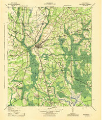
1943 Walterboro
Colleton County, SC

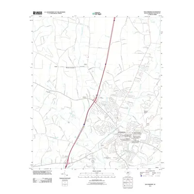
1986 Walterboro
Colleton County, SC
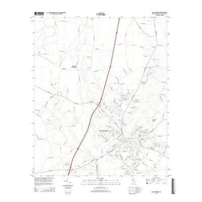
1988 Walterboro
Colleton County, SC

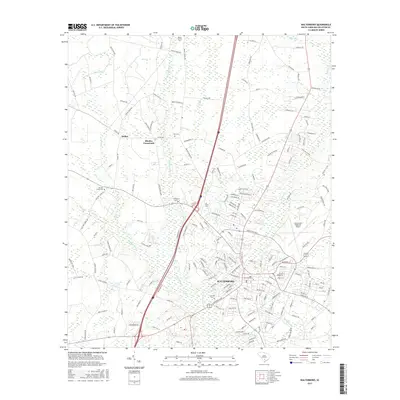
1990 Walterboro
Colleton County, SC
2011 Walterboro
Colleton County, SC
2014 Walterboro
Colleton County, SC
2017 Walterboro
Colleton County, SC
2020 Walterboro
Colleton County, SC
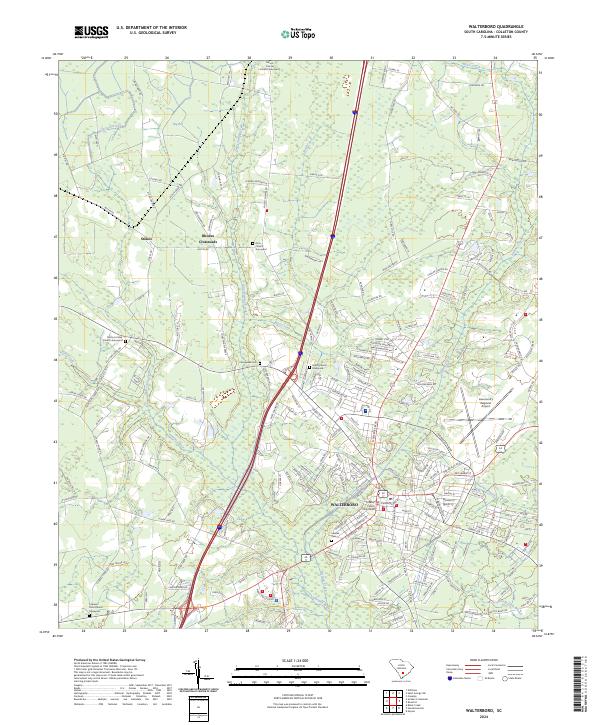
2024 Walterboro
Colleton County, SC